Alcester_Town_Hall,_geograph_4054476_by_Jonathan_Thacker.jpg
Size of this preview:
800 × 600 pixels
.
Other resolutions:
320 × 240 pixels
|
640 × 480 pixels
|
1,024 × 768 pixels
.
Summary
| Description |
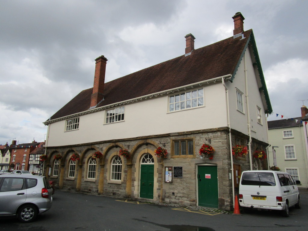
English:
Alcester Town Hall
Dates from 1618 the gift of Sir Fulke Greville. At some point in its history the arches of the ground floor have been infilled.
|
||
| Date | |||
| Source | geograph.org.uk | ||
| Author | Jonathan Thacker | ||
|
Permission
( Reusing this file ) |
This file is licensed under the
Creative Commons
Attribution-Share Alike 2.0 Generic
license.
Attribution:
Jonathan Thacker
|
||
|
Attribution
( required by the license ) |
Jonathan Thacker / Alcester Town Hall / | ||

| Camera location |
|
View this and other nearby images on: OpenStreetMap |
|
|---|
_region:GB-ENG_heading:67.00&language=en)
| Object location |
|
View this and other nearby images on: OpenStreetMap |
|
|---|
_region:GB-ENG_heading:67.00&language=en)