AlteSalzstrasse.png
No higher resolution available.

|
This
locator map
image could be re-created
using
vector graphics
as an
SVG
file
. This has several advantages; see
Commons:Media for cleanup
for more information. If an SVG form of this image is available, please upload it and afterwards replace this template with
{{

vector version available

|

new image name

}}
.
It is recommended to name the SVG file “AlteSalzstrasse.svg”—then the template Vector version available (or Vva ) does not need the new image name parameter. |
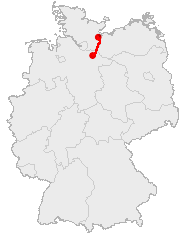
| Description | Course Map of Alte Saltzstraße |
| Date | |
| Source | made by 汲平 based on the data from OpenGeoDB |
| Author | 汲平 |
This image was generated with OpenGeoDB . The information there is placed in the public domain, images generated from OpenGeoDB are derivative works without passing the threshold of creativity, they are therefore also public domain.
|
|
This work is ineligible for copyright and therefore in the public domain because it consists entirely of information that is common property and contains no original authorship . |