Ameland_aerial_view_from_the_west.jpg
Size of this preview:
800 × 449 pixels
.
Other resolutions:
320 × 180 pixels
|
640 × 360 pixels
|
1,024 × 575 pixels
|
1,280 × 719 pixels
|
2,560 × 1,438 pixels
|
5,464 × 3,070 pixels
.
Summary
| Description |
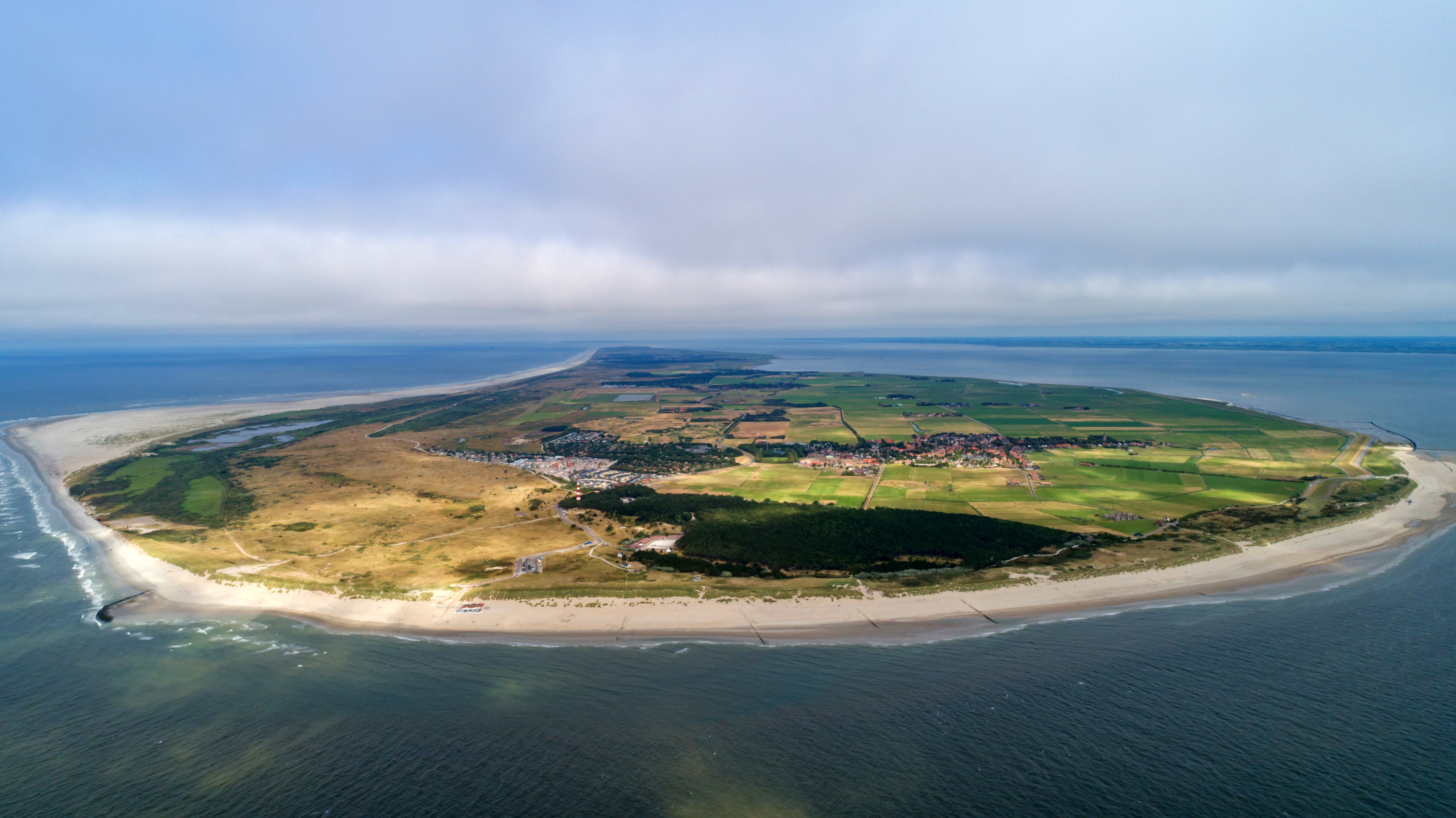
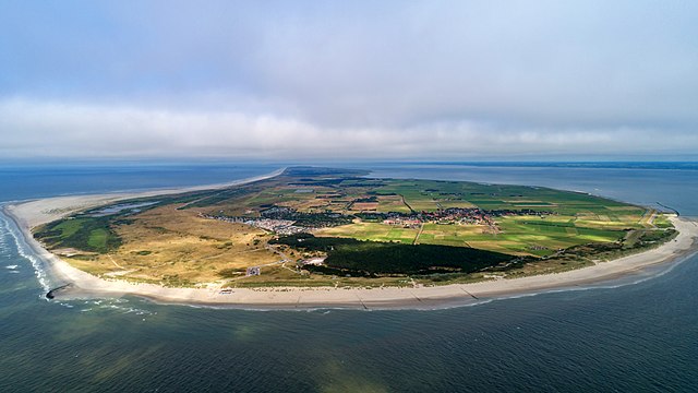
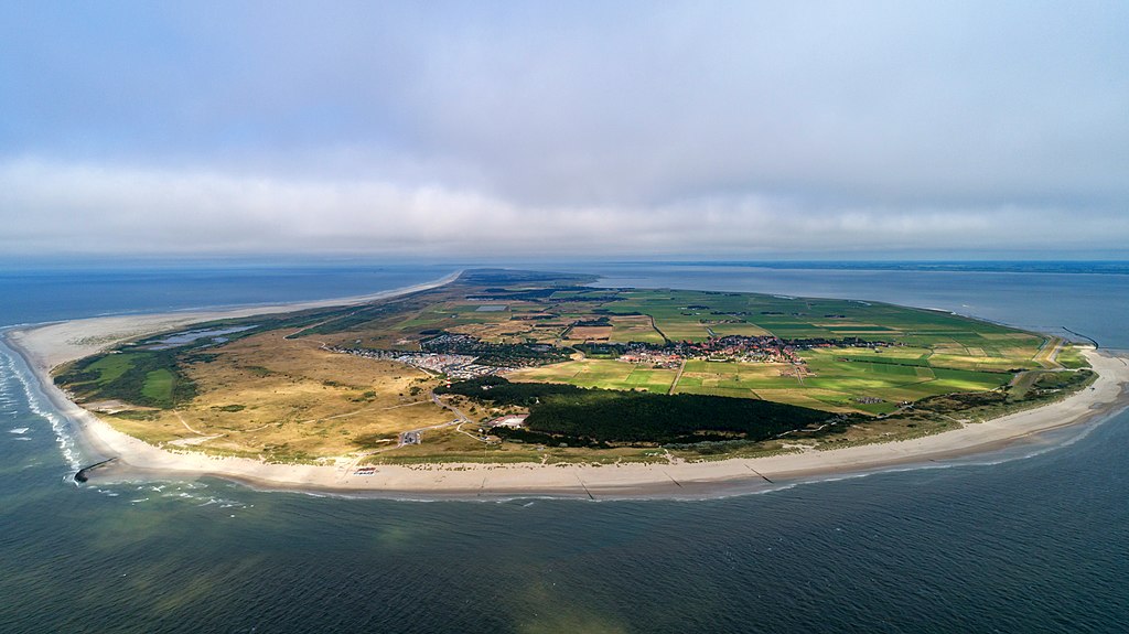
Nederlands:
Luchtopname van Ameland vanuit het westen
|
| Date | |
| Source | https://www.flickr.com/photos/132646954@N02/43957957855 |
| Author | dronepicr |
| Camera location |
|
View this and other nearby images on: OpenStreetMap |
|
|---|
Licensing
|
|
This image was originally posted to Flickr by dronepicr at https://flickr.com/photos/132646954@N02/43957957855 ( archive ). It was reviewed on 11 November 2018 by FlickreviewR 2 and was confirmed to be licensed under the terms of the cc-by-2.0. |
This file is licensed under the
Creative Commons
Attribution 2.0 Generic
license.
-
You are free:
- to share – to copy, distribute and transmit the work
- to remix – to adapt the work
-
Under the following conditions:
- attribution – You must give appropriate credit, provide a link to the license, and indicate if changes were made. You may do so in any reasonable manner, but not in any way that suggests the licensor endorses you or your use.