Andorra_location_map.svg

Size of this PNG preview of this SVG file:
683 × 599 pixels
.
Other resolutions:
274 × 240 pixels
|
547 × 480 pixels
|
875 × 768 pixels
|
1,167 × 1,024 pixels
|
2,333 × 2,048 pixels
|
1,161 × 1,019 pixels
.
Summary
| Description |
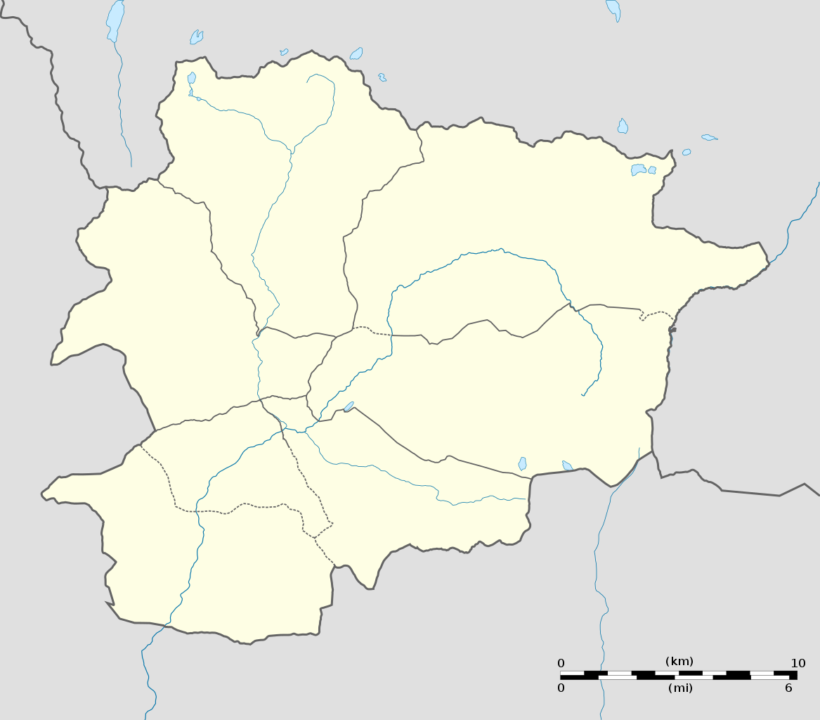
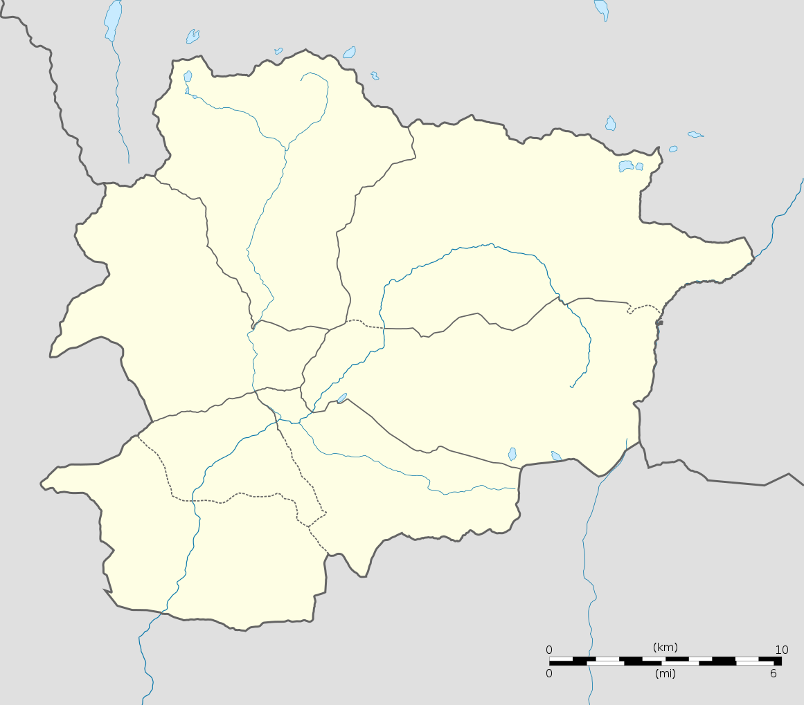
English:
Blank administrative map of
Andorra
with parishes boundaries for geo-location purpose.
Note: Dotted lines are boundaries estimated from very small scale reference maps.
Français :
Carte administrative vierge de l'
Andorre
avec limites des paroisses destinée à la géolocalisation.
Note : les lignes pointillées sont des limites estimées à partir de cartes de référence à très petite échelle.
Equirectangular projection, WGS84 datum
Topographic scale: 1:372,000 (precision: 93 m)
|
||
| Date | |||
| Source |
Own work
(
Original text:
Own work
)
|
||
| Author | Eric Gaba ( Sting - fr:Sting ) | ||
|
Permission
( Reusing this file ) |
|
||
| Other versions |
|
||
| SVG development |

| Camera location |
|
View this and other nearby images on: OpenStreetMap |
|
|---|
Licensing
I, the copyright holder of this work, hereby publish it under the following licenses:
This file is licensed under the
Creative Commons
Attribution-Share Alike 3.0 Unported
license.
-
You are free:
- to share – to copy, distribute and transmit the work
- to remix – to adapt the work
-
Under the following conditions:
- attribution – You must give appropriate credit, provide a link to the license, and indicate if changes were made. You may do so in any reasonable manner, but not in any way that suggests the licensor endorses you or your use.
- share alike – If you remix, transform, or build upon the material, you must distribute your contributions under the same or compatible license as the original.

|
Permission is granted to copy, distribute and/or modify this document under the terms of the GNU Free Documentation License , Version 1.2 or any later version published by the Free Software Foundation ; with no Invariant Sections, no Front-Cover Texts, and no Back-Cover Texts. A copy of the license is included in the section entitled GNU Free Documentation License . |
You may select the license of your choice.