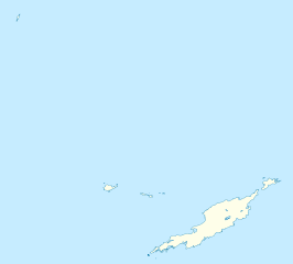
Anguilla_location_map.svg

Size of this PNG preview of this SVG file:
664 × 599 pixels
.
Other resolutions:
266 × 240 pixels
|
532 × 480 pixels
|
851 × 768 pixels
|
1,134 × 1,024 pixels
|
2,269 × 2,048 pixels
|
1,777 × 1,604 pixels
.
Summary
| Description |
Deutsch:
Positionskarte von
Anguilla
Geographische Begrenzung der Karte:
English:
Location map of
Anguilla
Geographic limits of the map:
|
||||||||||||
| Date | |||||||||||||
| Source | Own work | ||||||||||||
| Author | NordNordWest | ||||||||||||
|
Permission
( Reusing this file ) |
|
||||||||||||
| Other versions | Derivative works of this file: Anguilla islands.svg |

|
This map has been made or improved in the German
Kartenwerkstatt
(Map Lab)
. You can
propose maps
to improve as well.
|