Arandis_Mine_quer.jpg
Size of this preview:
800 × 533 pixels
.
Other resolutions:
320 × 213 pixels
|
640 × 427 pixels
|
1,024 × 683 pixels
|
1,280 × 854 pixels
|
2,560 × 1,707 pixels
|
3,815 × 2,544 pixels
.
| Description |
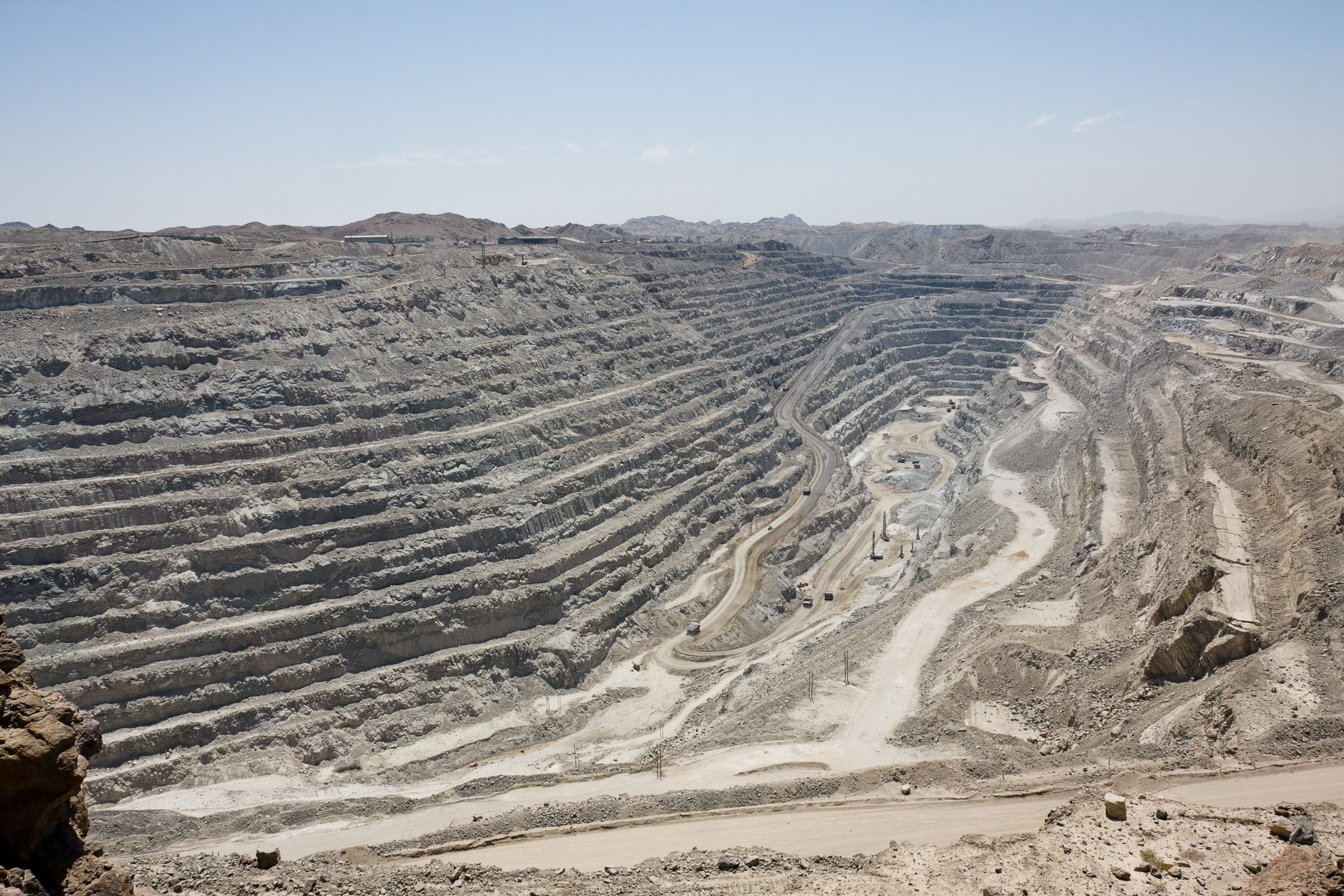
Deutsch:
Die Grube der Rössing-Mine bei Swakopmund
|
| Date | |
| Source | Own work |
| Author | Ikiwaner |
|
Permission
( Reusing this file ) |
GNU Free Documentation License v1.2 only |
| Camera location |
|
View this and other nearby images on: OpenStreetMap |
|
|---|
I, the copyright holder of this work, hereby publish it under the following license:

|
Permission is granted to copy, distribute and/or modify this document under the terms of the GNU Free Documentation License , Version 1.2 only as published by the Free Software Foundation ; with no Invariant Sections, no Front-Cover Texts, and no Back-Cover Texts. A copy of the license is included in the section entitled GNU Free Documentation License . | 1.2 only |