Arctic_Circle_sign.jpg

Size of this preview:
800 × 600 pixels
.
Other resolutions:
320 × 240 pixels
|
640 × 480 pixels
|
1,024 × 768 pixels
|
1,280 × 960 pixels
|
2,272 × 1,704 pixels
.
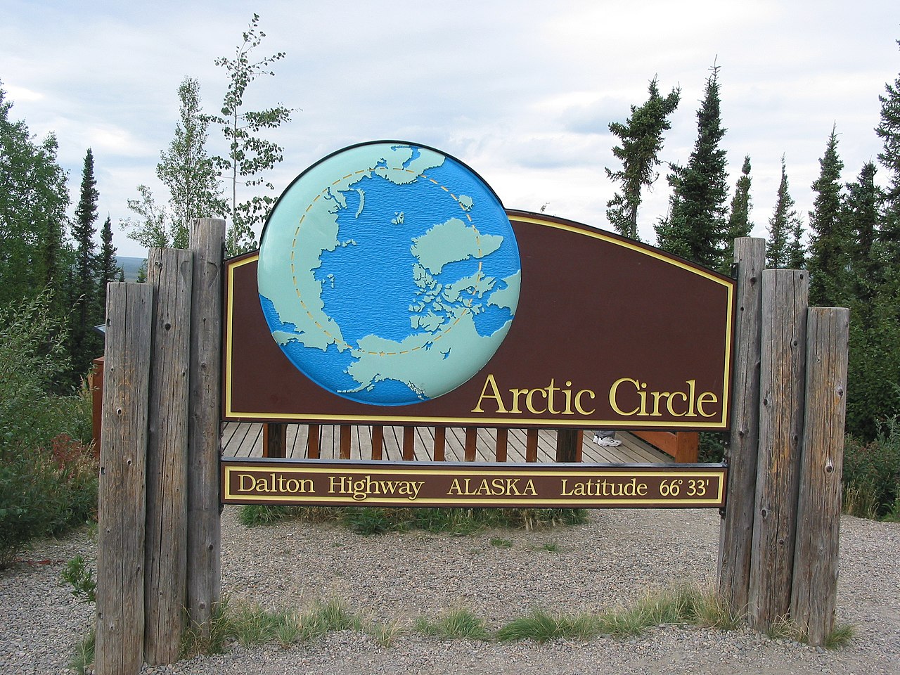
| Description | This is a road sign marking the location of the Arctic Circle along the Dalton Highway. | ||
| Date | |||
| Source | Originally from en.wikipedia ; description page was here . | ||
| Author | Ixfd64 | ||
|
Permission
( Reusing this file ) |
|
| Object location |
|
View this and other nearby images on: OpenStreetMap |
|
|---|