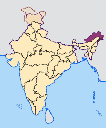
Arunachal_Pradesh_in_India.png
No higher resolution available.
Map made by me, Nichalp
Note: The Indian state of w:Arunachal Pradesh is claimed by China as a part of w:South Tibet . The claimed region is shown in a different colour.
The Indian state of w:Jammu and Kashmir is claimed by w:India , w:Pakistan and the w:People's Republic of China . This map depicts the boundaries of the state as it was in 1947. Areas administered by India is coloured as per the rest of the states, and the area administered by Pakistan and China are coloured in a neutral colour. See the map of Jammu and Kashmir.
See the map of Arunachal Pradesh.
The Indian territorial waters extend to a distance of twelve nautical miles.

|
Permission is granted to copy, distribute and/or modify this document under the terms of the GNU Free Documentation License , Version 1.2 or any later version published by the Free Software Foundation ; with no Invariant Sections, no Front-Cover Texts, and no Back-Cover Texts. A copy of the license is included in the section entitled GNU Free Documentation License . |
|
|
This file is licensed under the Creative Commons Attribution-Share Alike 3.0 Unported license. | |
|
||
| This licensing tag was added to this file as part of the GFDL licensing update . |