Australia_Victoria_Wodonga_City_location_map.svg

Size of this PNG preview of this SVG file:
535 × 385 pixels
.
Other resolutions:
320 × 230 pixels
|
640 × 461 pixels
|
1,024 × 737 pixels
|
1,280 × 921 pixels
|
2,560 × 1,842 pixels
.
| Description |
English:
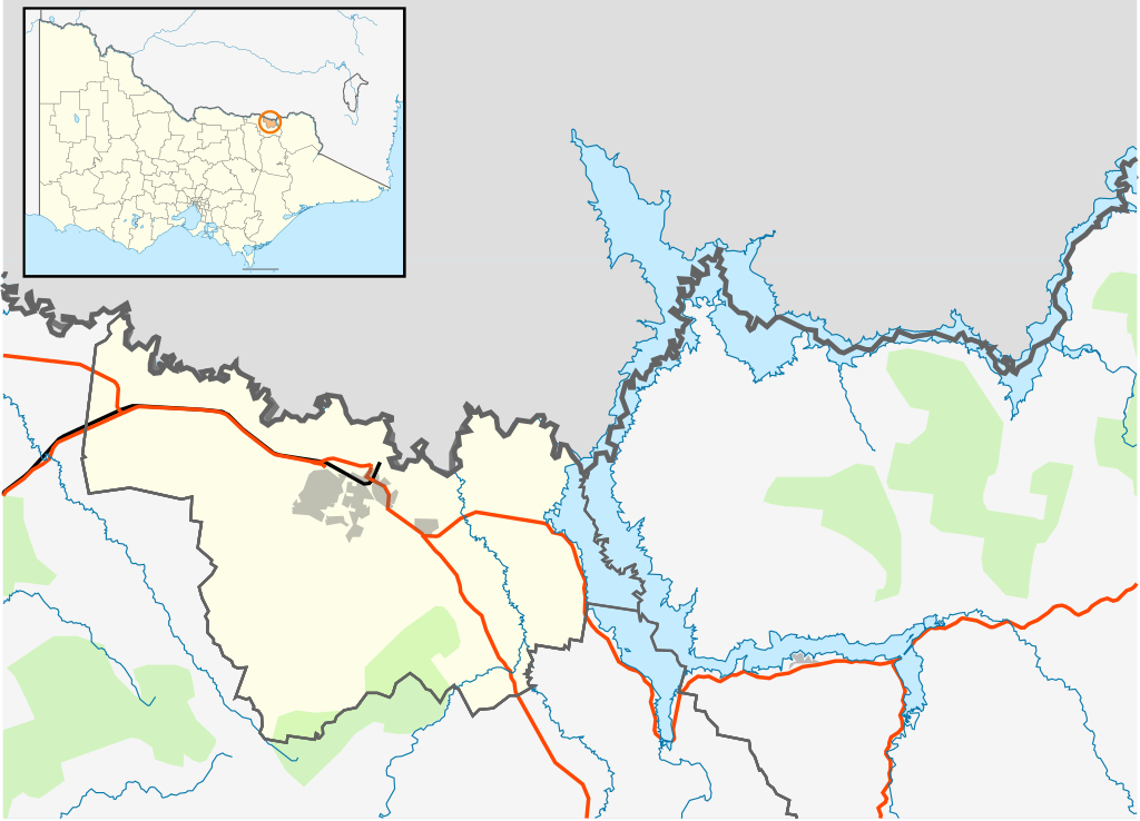
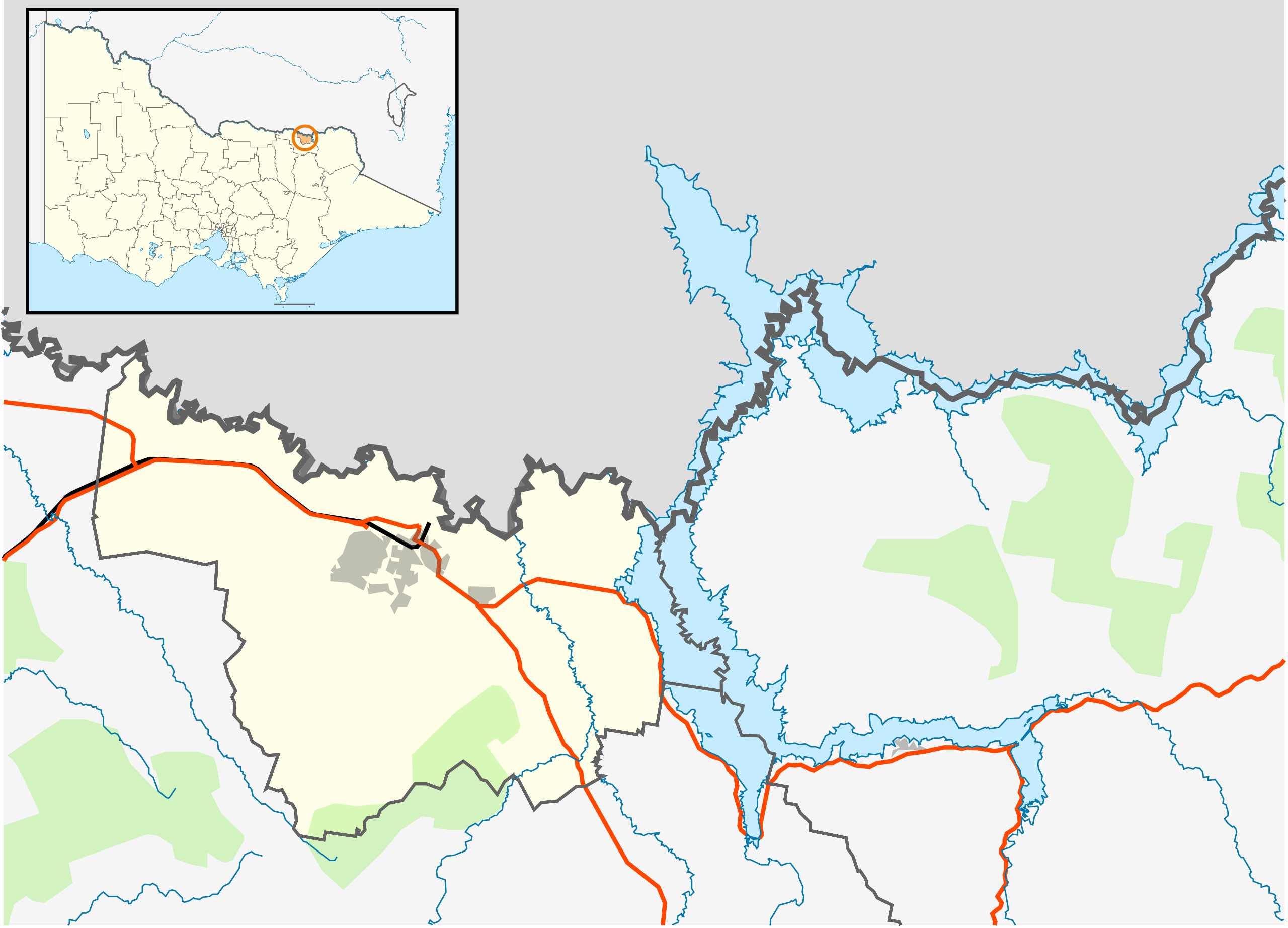
Blank map of the
w:City of Wodonga
, Victoria, Australia, with the following information shown:
Geographic limits:
|
||
| Source | Own work | ||
| Author | Cassowary |
