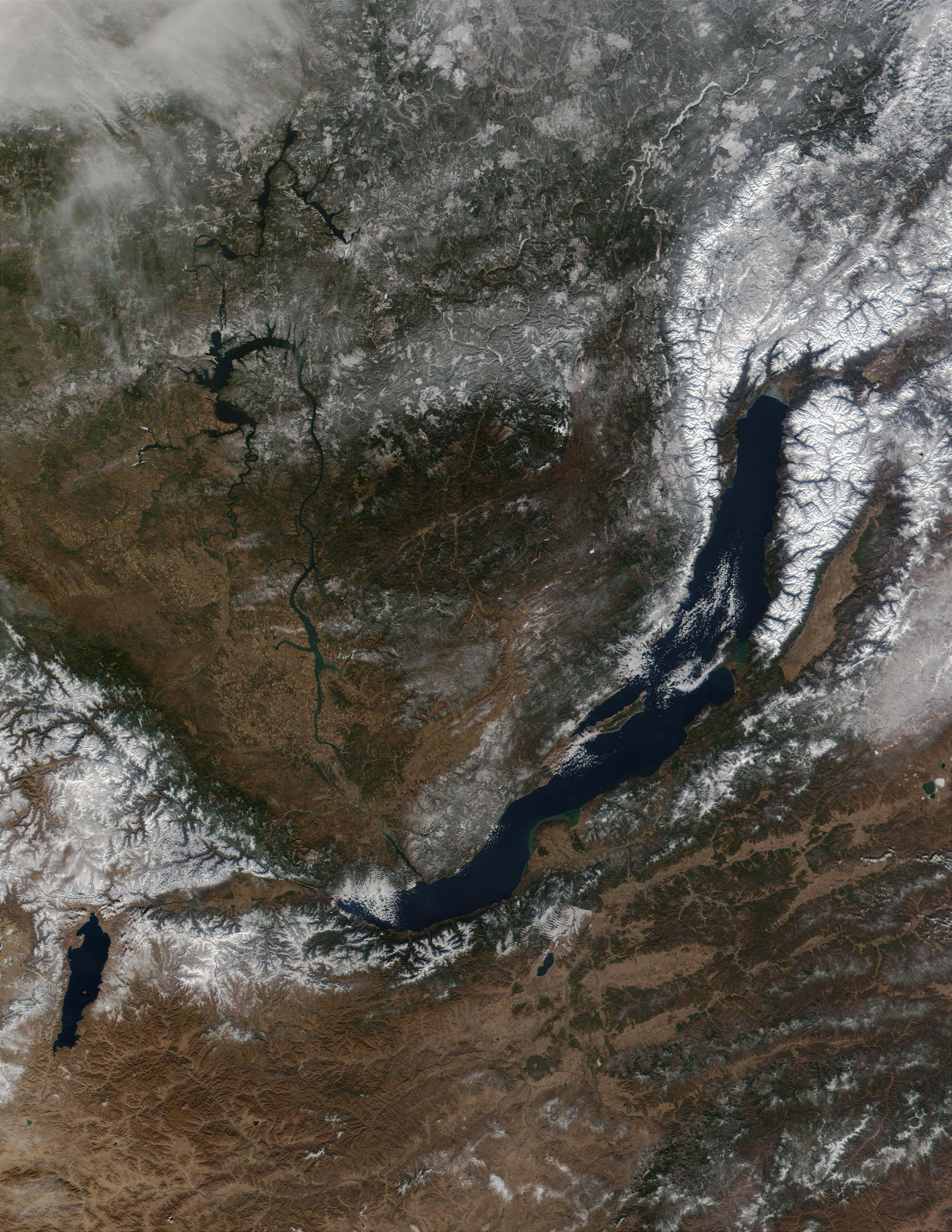
Baikal.A2001296.0420.250m-NASA.jpg
Size of this preview:
463 × 599 pixels
.
Other resolutions:
185 × 240 pixels
|
371 × 480 pixels
|
593 × 768 pixels
|
791 × 1,024 pixels
|
1,582 × 2,048 pixels
|
3,400 × 4,400 pixels
.
| Description |
Čeština:
Bajkalské jezero
ze satelitu
Magyar:
Műholdfelvétel a
Bajkál-tóról
|
|||||
| Date | Datastart 2001-10-23 - Visualization Date 2001-10-23 | |||||
| Source | http://visibleearth.nasa.gov/view_rec.php?id=2239 - http://visibleearth.nasa.gov/images/2239/Baikal.A2001296.0420.500m.jpg - Visible Earth v1 ID 10671 | |||||
| Author | Jacques Descloitres, MODIS Land Rapid Response Team, NASA/GSFC | |||||
|
Permission
( Reusing this file ) |
|
