Beaubears_Island.JPG

Size of this preview:
800 × 451 pixels
.
Other resolutions:
320 × 180 pixels
|
640 × 361 pixels
|
1,024 × 577 pixels
|
1,280 × 721 pixels
|
2,272 × 1,280 pixels
.
Summary
| Description |
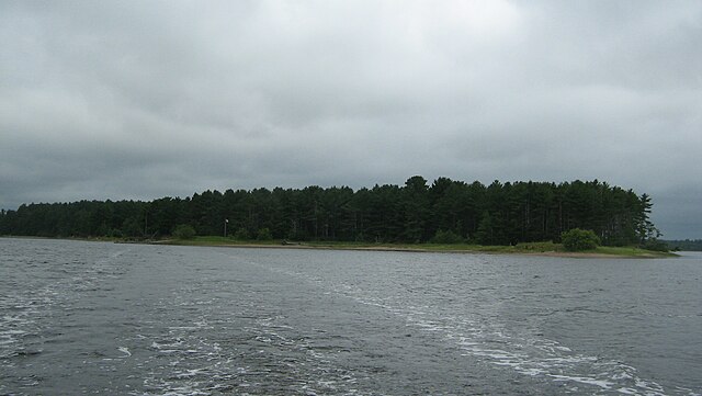
Français :
Île Boishébert vue de la rivière Miramichi
|
| Date | |
| Source | Own work |
| Author | Fralambert |
|
|
This photo is of a
cultural heritage site in Canada
, number
1169
in the
Canadian Register of Historic Places
.
|
|
|
This photo is of a
cultural heritage site in Canada
, number
7650
in the
Canadian Register of Historic Places
.
|
| Camera location |
|
View this and other nearby images on: OpenStreetMap |
|
|---|
Licensing
I, the copyright holder of this work, hereby publish it under the following licenses:

|
Permission is granted to copy, distribute and/or modify this document under the terms of the GNU Free Documentation License , Version 1.2 or any later version published by the Free Software Foundation ; with no Invariant Sections, no Front-Cover Texts, and no Back-Cover Texts. A copy of the license is included in the section entitled GNU Free Documentation License . |
This file is licensed under the
Creative Commons
Attribution-Share Alike
3.0 Unported
,
2.5 Generic
,
2.0 Generic
and
1.0 Generic
license.
-
You are free:
- to share – to copy, distribute and transmit the work
- to remix – to adapt the work
-
Under the following conditions:
- attribution – You must give appropriate credit, provide a link to the license, and indicate if changes were made. You may do so in any reasonable manner, but not in any way that suggests the licensor endorses you or your use.
- share alike – If you remix, transform, or build upon the material, you must distribute your contributions under the same or compatible license as the original.
You may select the license of your choice.