Between_corn_rows.png

Size of this preview:
384 × 600 pixels
.
Other resolutions:
153 × 240 pixels
|
307 × 480 pixels
|
491 × 768 pixels
|
655 × 1,024 pixels
|
1,600 × 2,500 pixels
.
Summary
| Description |
English:
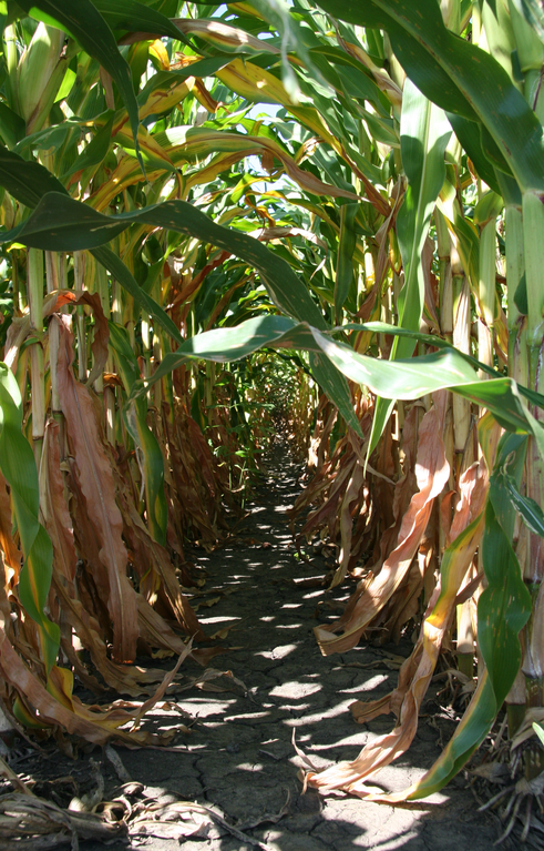
Looking along the narrow path formed between two rows of
maize
(
Zea mays
) in a field in
Tippecanoe County, Indiana
. The maize is normally
sown
in regular rows by a planter towed by a tractor.
|
| Date | |
| Source | Own work |
| Author | Huw Williams ( Huwmanbeing ) |
| Camera location |
|
View this and other nearby images on: OpenStreetMap |
|
|---|
Licensing
|
|
I, the copyright holder of this work, release this work into the
public domain
. This applies worldwide.
In some countries this may not be legally possible; if so: I grant anyone the right to use this work for any purpose , without any conditions, unless such conditions are required by law. |
|
|
This image has been assessed using the
Quality image guidelines
and is considered a
Quality image
.
|