Bhutan_relief_location_map.jpg

Size of this preview:
800 × 522 pixels
.
Other resolutions:
320 × 209 pixels
|
640 × 417 pixels
|
874 × 570 pixels
.
Summary
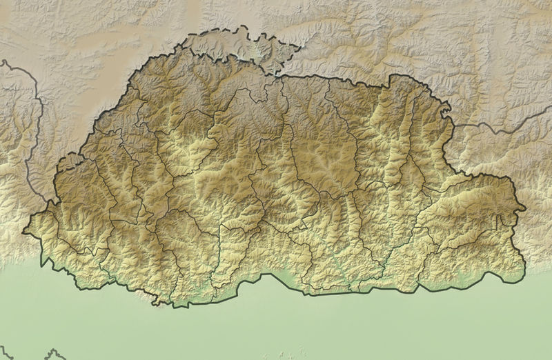
| Description |
Deutsch:
Positionskarte von
Bhutan
Quadratische Plattkarte, N-S-Streckung 115 %. Geographische Begrenzung der Karte:
English:
Location map of
Bhutan
Equirectangular projection, N/S stretching 115 %. Geographic limits of the map:
|
|
| Date | ||
| Source |
own work, using
|
|
| Author | NordNordWest | |
|
Permission
( Reusing this file ) |
This file is licensed under the
Creative Commons
Attribution-Share Alike 3.0 Germany
license.

This file is licensed under the
Creative Commons
Attribution-Share Alike 3.0 Germany
license.
|
|
| Other versions |
|


|
This map has been made or improved in the German
Kartenwerkstatt
(Map Lab)
. You can
propose maps
to improve as well.
|