Bikini_Atoll_2001-01-14,_Landsat_7_ETM+,_bands_3-2-1-8.png

Size of this preview:
800 × 508 pixels
.
Other resolutions:
320 × 203 pixels
|
640 × 406 pixels
|
1,024 × 650 pixels
|
1,280 × 812 pixels
|
3,063 × 1,944 pixels
.
Summary
| Description |
English:
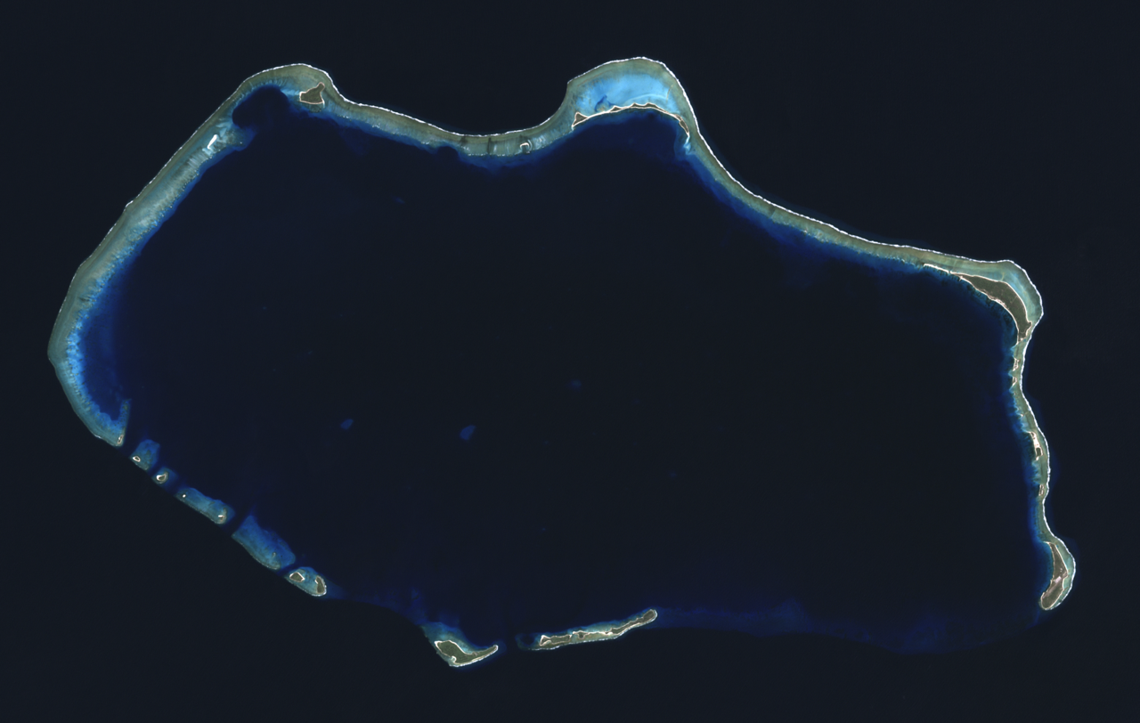
Composite "true color" multispectral satellite image of Bikini Atoll, Marshall Islands.
NASA Landsat 7 ETM+ bands used were 3 (red), 2 (green) and 1 (blue), and the image was pan-sharpened to 15m resolution. Imagery courtesy of NASA/USGS. |
| Date | |
| Source | NASA Landsat satellite image GeoTIFF archive, http://glovis.usgs.gov |
| Author | NASA |
| Camera location |
|
View this and other nearby images on: OpenStreetMap |
|
|---|
Licensing
|
|
This file is in the public domain in the United States because it was solely created by NASA . NASA copyright policy states that "NASA material is not protected by copyright unless noted ". (See Template:PD-USGov , NASA copyright policy page or JPL Image Use Policy .) |
|

|
Warnings:
|
| Annotations | This image is annotated: View the annotations at Commons |