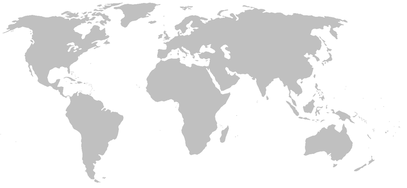
BlankMap-World-noborders.png

Size of this preview:
800 × 370 pixels
.
Other resolutions:
320 × 148 pixels
|
640 × 296 pixels
|
1,357 × 628 pixels
.

|
File:BlankMap-World.svg
is a vector version of this file. It should be used in place of this PNG file.
File:BlankMap-World-noborders.png →
File:BlankMap-World.svg
For more information, see
Help:SVG
.
|

|
|
|
File:World map without Antarctica.svg
is a vector version of this file. It should be used in place of this PNG file.
File:BlankMap-World-noborders.png →
File:World map without Antarctica.svg
For more information, see
Help:SVG
.
|

|
World map: blank, without country borders; derived by en:User:Pcb21 / en:User:E Pluribus Anthony from work by en:User:Vardion
Note that the grey colour has bitmap colours R=192, G=192, B=192
|
|
This work has been released into the
public domain
by its author,
E Pluribus Anthony
at
English Wikipedia
. This applies worldwide.
In some countries this may not be legally possible; if so: E Pluribus Anthony grants anyone the right to use this work for any purpose , without any conditions, unless such conditions are required by law. |
derivative works
Derivative works of this file:
- BES islands location map.svg
- Ballota nigra rangemap.png
- Beebe Pheasant Expedition Map.png
- Dutch Caribbean location map.svg