Blank_Districts_of_Pakistan.svg

Size of this PNG preview of this SVG file:
800 × 582 pixels
.
Other resolutions:
320 × 233 pixels
|
640 × 465 pixels
|
1,024 × 745 pixels
|
1,280 × 931 pixels
|
2,560 × 1,862 pixels
.
Summary
| Description |
English:
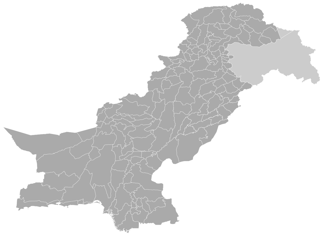
This is a blank SVG map of Pakistan's districts, which total 160 in number (including Islamabad Capital Territory).
|
| Date | |
| Source | Own work |
| Author | Abbasi786786 |
Licensing
I, the copyright holder of this work, hereby publish it under the following license:
This file is licensed under the
Creative Commons
Attribution-Share Alike 4.0 International
license.
-
You are free:
- to share – to copy, distribute and transmit the work
- to remix – to adapt the work
-
Under the following conditions:
- attribution – You must give appropriate credit, provide a link to the license, and indicate if changes were made. You may do so in any reasonable manner, but not in any way that suggests the licensor endorses you or your use.
- share alike – If you remix, transform, or build upon the material, you must distribute your contributions under the same or compatible license as the original.