Bournemouth_Borough_Council_election_2011_map.svg

Size of this PNG preview of this SVG file:
800 × 508 pixels
.
Other resolutions:
320 × 203 pixels
|
640 × 406 pixels
|
1,024 × 650 pixels
|
1,280 × 812 pixels
|
2,560 × 1,624 pixels
|
1,425 × 904 pixels
.
| Description |
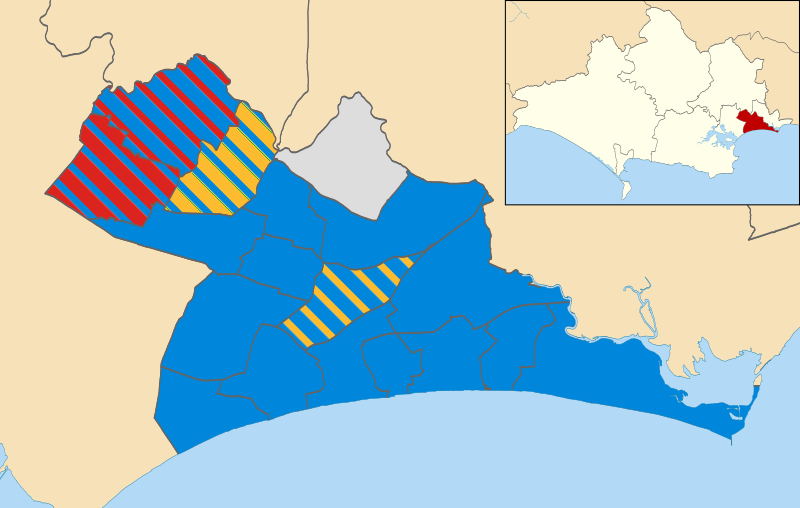
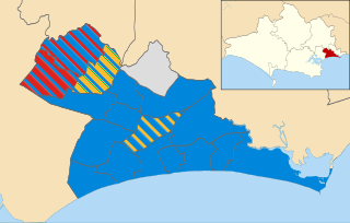
Map of Bournemouth, Dorset, UK showing the results of the 2011 local election. Colours:
Conservative
Labour
Liberal Democrat
Independent
Striped wards have mixed representation.
|
| Date | |
| Source |
|
| Author | Nilfanion |
|
Permission
( Reusing this file ) |
This file is licensed under the
Creative Commons
Attribution-Share Alike 3.0 Unported
license.
Attribution:
Contains Ordnance Survey data © Crown copyright and database right
|