Brecqhou_from_the_air.JPG
Size of this preview:
800 × 510 pixels
.
Other resolutions:
320 × 204 pixels
|
640 × 408 pixels
|
1,024 × 653 pixels
|
1,280 × 816 pixels
|
2,560 × 1,631 pixels
|
3,978 × 2,535 pixels
.
Summary
| Description |
English:
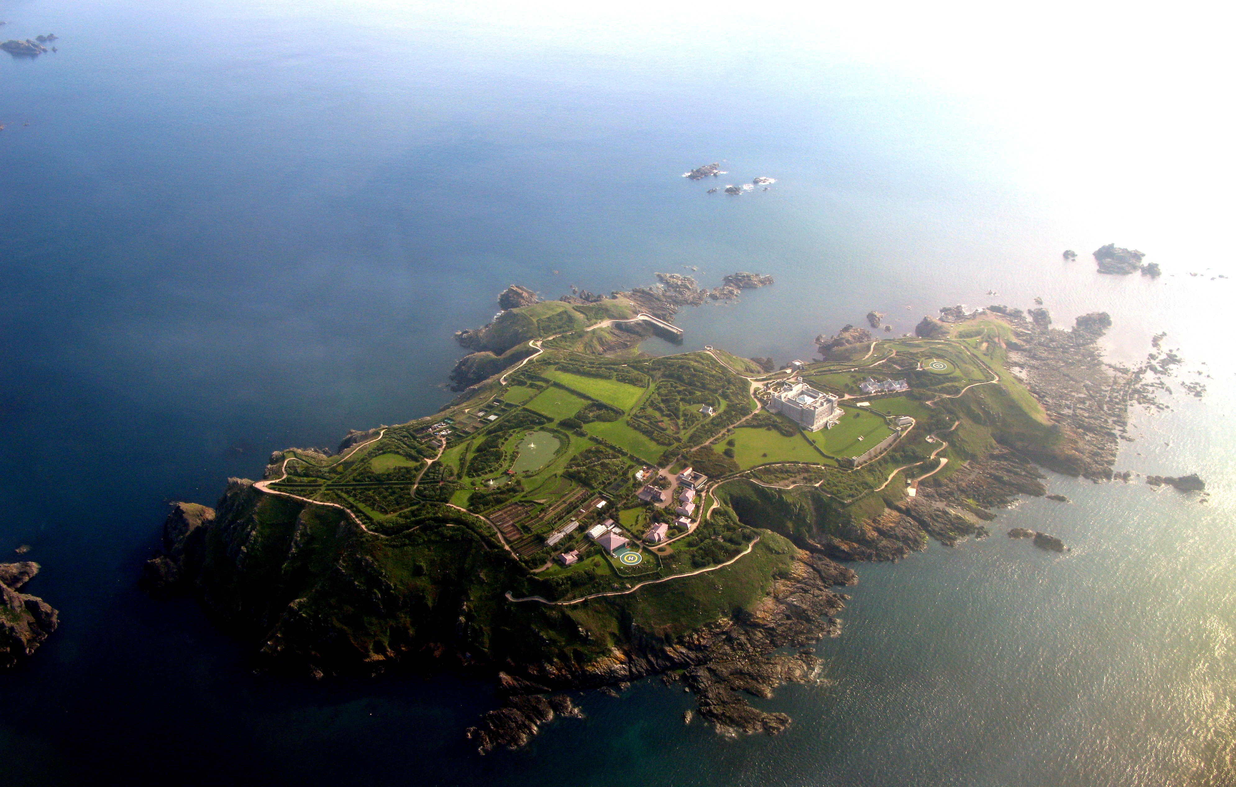
Brecqhou island from the air
Español:
La isla de Brecqhou desde el aire
Français :
Vue aérienne de l'île de Brecqhou
|
| Date | |
| Source | Own work |
| Author | Diegourdiales |
| Camera location |
|
View this and other nearby images on: OpenStreetMap |
|
|---|
Licensing
Diegourdiales, the copyright holder of this work, hereby publishes it under the following license:
This file is licensed under the
Creative Commons
Attribution 3.0 Unported
license.
Attribution:
Diegourdiales
-
You are free:
- to share – to copy, distribute and transmit the work
- to remix – to adapt the work
-
Under the following conditions:
- attribution – You must give appropriate credit, provide a link to the license, and indicate if changes were made. You may do so in any reasonable manner, but not in any way that suggests the licensor endorses you or your use.
Original upload log
| date/time | username | resolution | size | edit summary |
|---|---|---|---|---|
| 2009-05-23T14:45:00Z | User:Diegourdiales | 3978×2535 | 4.31Gb | {{Information |Description={{en|1=Herm island from the air}} {{es|1=La isla de Herm desde el aire}} {{fr|1=Vue aérienne de l'île d'Herm}} |Source=Own work by uploader |Author=[[User:Diegourdiales|Diegourdiales]] |Date=2009-05-14 |Permission= |other_vers |