Brimington_Methodist_Church_-_photoshopped_239256.jpg
No higher resolution available.
Summary
| Description |
English:
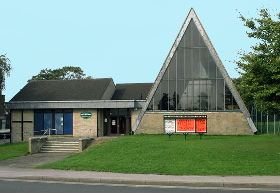
Hall Road Methodist Church,
Brimington
, Derbyshire
Church website
|
| Date | |
| Source |
This file was derived from:
Triangle Church - geograph.org.uk - 239256.jpg
|
| Author | Michael Patterson |
| Other versions |

|
| Camera location |
|
View this and other nearby images on: OpenStreetMap |
|
|---|
Licensing
This file is licensed under the
Creative Commons
Attribution-Share Alike 2.0 Generic
license.
Attribution:
Michael Patterson
-
You are free:
- to share – to copy, distribute and transmit the work
- to remix – to adapt the work
-
Under the following conditions:
- attribution – You must give appropriate credit, provide a link to the license, and indicate if changes were made. You may do so in any reasonable manner, but not in any way that suggests the licensor endorses you or your use.
- share alike – If you remix, transform, or build upon the material, you must distribute your contributions under the same or compatible license as the original.