BrockenSnowedTreesInSun.jpg

Size of this preview:
800 × 530 pixels
.
Other resolutions:
320 × 212 pixels
|
640 × 424 pixels
|
1,024 × 679 pixels
|
1,280 × 849 pixels
|
2,979 × 1,975 pixels
.
| Camera location |
|
View this and other nearby images on: OpenStreetMap |
|
|---|
| Description |
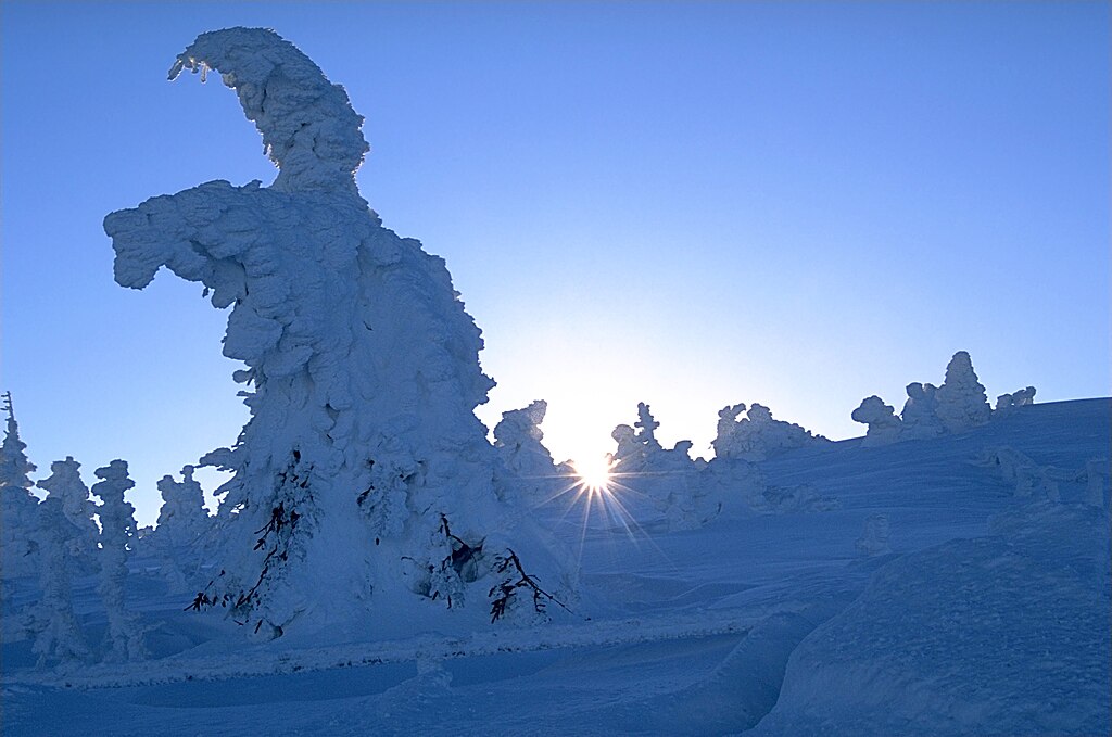
English:
Snowed trees on mount Brocken, Harz, Germany.
Français :
Arbres sous la neige dans le mont Brocken, Harz, Allemagne.
Photo was taken using the following technique:
|
| Date | 2001-12-23, 13:00–14:00 |
| Source | Own work |
| Author | Andreas Tille |
|
Permission
( Reusing this file ) |
Quote of
http://fam-tille.de/harz/brocken/2001_088.html
-
Permission is granted to copy, distribute and/or modify this images under the terms of the GNU Free Documentation License, Version 1.1 or any later version published by the Free Software Foundation.
I, the copyright holder of this work, hereby publish it under the following license:
This file is licensed under the
Creative Commons
Attribution-Share Alike 4.0 International
license.
|
| Other versions | File:BrockenSnowedTreesInSunV2.jpg (different colors) |
|

|
|
This image was selected as
picture of the day
on Wikimedia Commons for
31 December 2008
. It was captioned as follows:
Other languages:
Afrikaans
:
Toegesneeude bome op Brockenberg, hoogste punt van die Harzgebergte in Sakse-Anhalt, Duitsland
Esperanto
:
Neĝokovritaj arboj sur la monto
Brocken
aŭ
Blokmonto
en
Germanujo
, kiu ankaŭ ludas rolon en la esperantlingva literaturo
Suomi
:
Lumisia puita Brocken-vuoristossa Hartzissa Saksassa.
Українська
:
Пейзаж з деревами під
сніговим
покривом на горі Брокен (
Brocken
),
Гарц
,
Німеччина
, 23 грудня 2001 року.
العربية
:
الأشجار المثلجة على مرتفع
بروكن
، بـ
هارز
،
ألمانيا
.
|
derivative works
Derivative works of this file: BrockenSnowedTreesInSunV2.jpg