C71195s1_Ant.Map_Mount_Soza.jpg

Size of this preview:
712 × 600 pixels
.
Other resolutions:
285 × 240 pixels
|
570 × 480 pixels
|
912 × 768 pixels
|
1,215 × 1,024 pixels
|
2,431 × 2,048 pixels
|
3,864 × 3,256 pixels
.
Summary
| Description |
English:
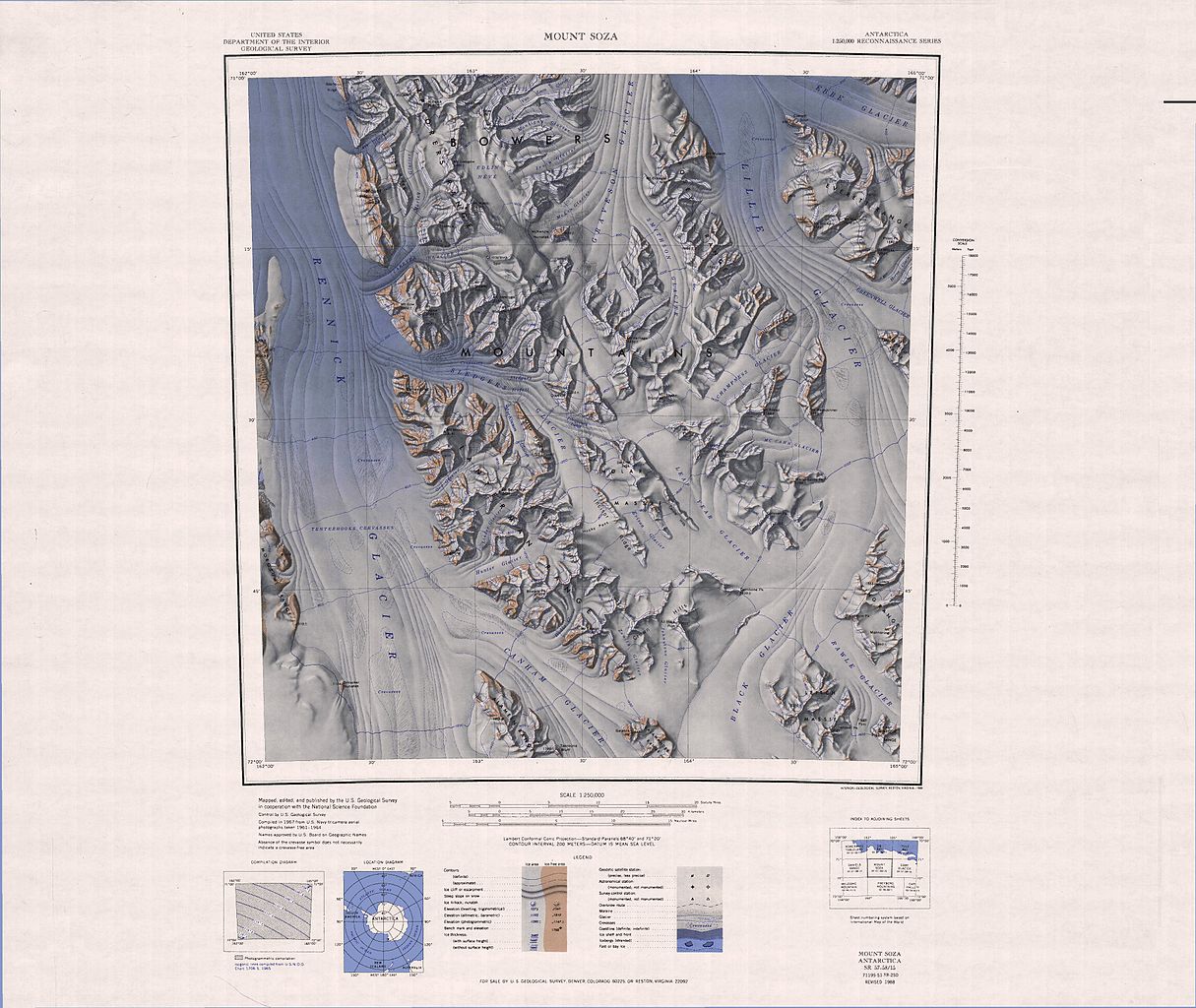
1:250,000-scale topographic reconnaissance map of the Bowers Mountains area from 162°-165°E to 71°-72°S in Antarctica, including Mount Soza and Rennick and Lillie Glaciers. Mapped, edited and published by the U.S. Geological Survey in cooperation with the National Science Foundation.
|
|||
| Date | ||||
| Source | http://usarc.usgs.gov/drg_dload.shtml | |||
| Author | United States Geological Survey | |||
|
Permission
( Reusing this file ) |
|