C74135s1_Ant.Map_Cape_Burks.jpg
Size of this preview:
792 × 600 pixels
.
Other resolutions:
317 × 240 pixels
|
634 × 480 pixels
|
1,014 × 768 pixels
|
1,280 × 970 pixels
|
2,560 × 1,939 pixels
|
4,467 × 3,384 pixels
.
Summary
| Description |
English:
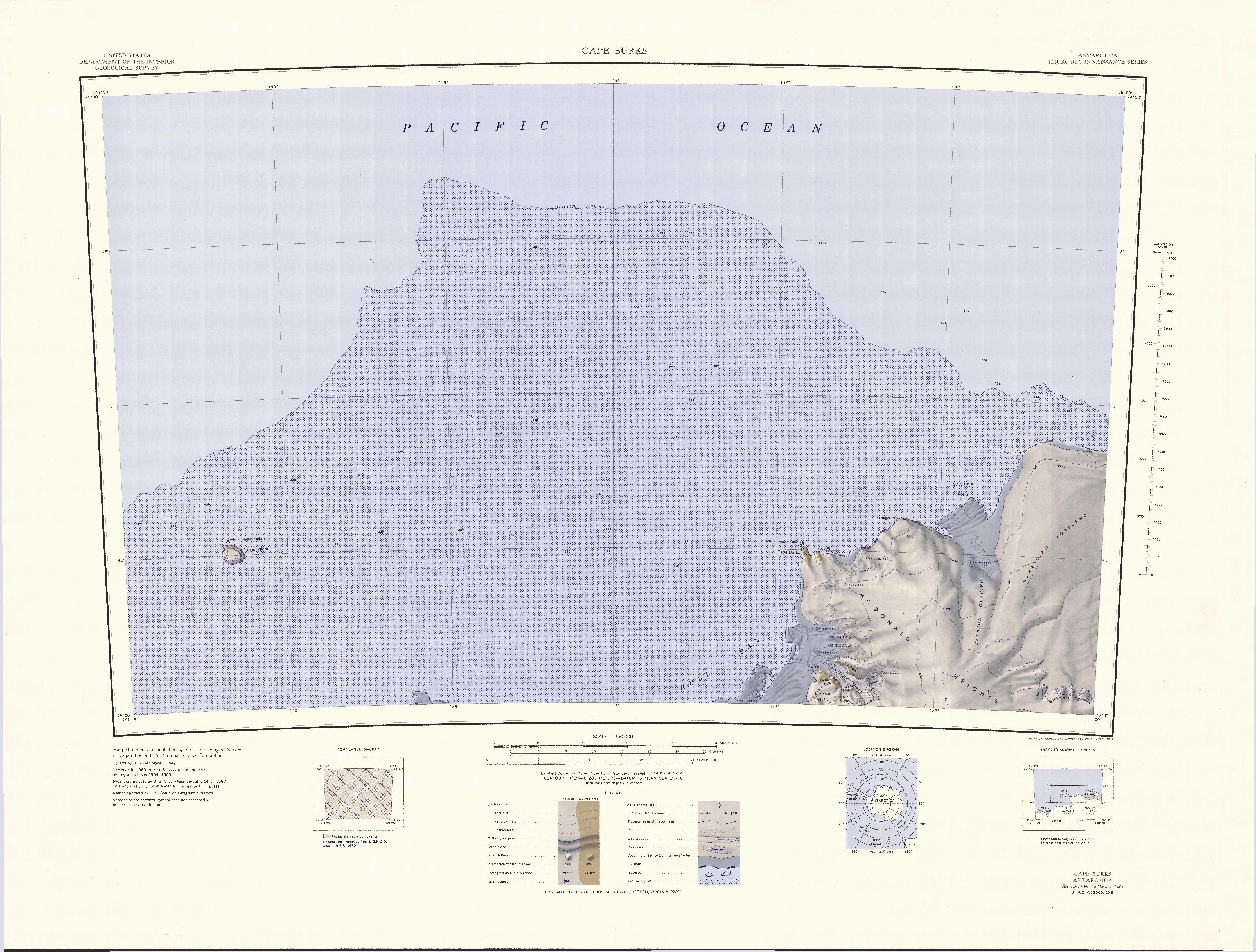
1:250,000-scale topographic reconnaissance map of the Cape Burks area from 135°-141°W to 74°-75°S in Antarctica. Mapped, edited and published by the U.S. Geological Survey in cooperation with the National Science Foundation.
|
|||
| Date | ||||
| Source | http://usarc.usgs.gov/drg_dload.shtml | |||
| Author | United States Geological Survey | |||
|
Permission
( Reusing this file ) |
|