CLE_skyline.png

Size of this preview:
800 × 482 pixels
.
Other resolutions:
320 × 193 pixels
|
640 × 386 pixels
|
1,024 × 617 pixels
|
1,280 × 771 pixels
|
2,560 × 1,542 pixels
|
5,552 × 3,345 pixels
.
Summary
| Description |
English:
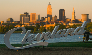
Cleveland skyline
|
| Date | |
| Source | Cleveland Skyline |
| Author | Erik Drost |
|
Permission
( Reusing this file ) |
.jpg)
| Camera location |
|
View this and other nearby images on: OpenStreetMap |
|
|---|
Licensing
This file is licensed under the
Creative Commons
Attribution-Share Alike 4.0 International
license.
-
You are free:
- to share – to copy, distribute and transmit the work
- to remix – to adapt the work
-
Under the following conditions:
- attribution – You must give appropriate credit, provide a link to the license, and indicate if changes were made. You may do so in any reasonable manner, but not in any way that suggests the licensor endorses you or your use.
- share alike – If you remix, transform, or build upon the material, you must distribute your contributions under the same or compatible license as the original.