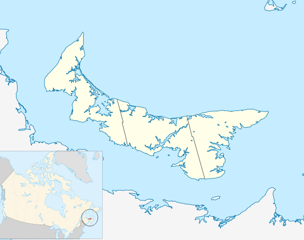
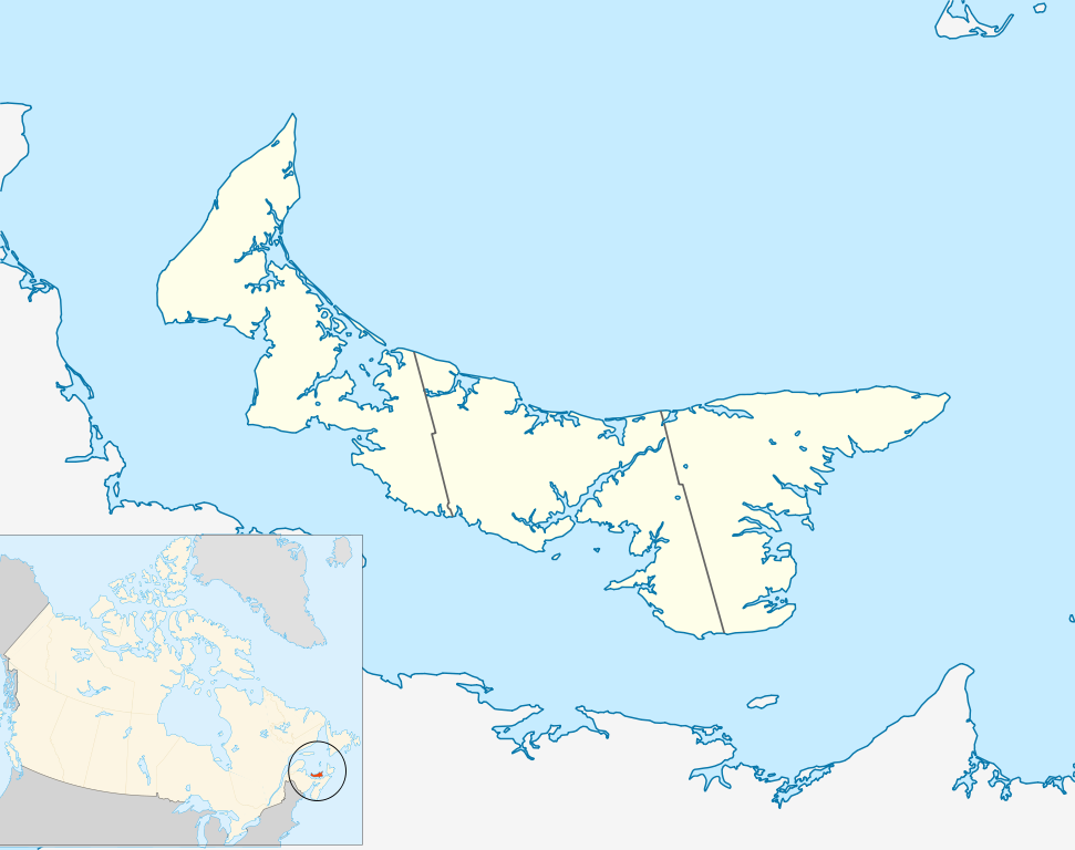
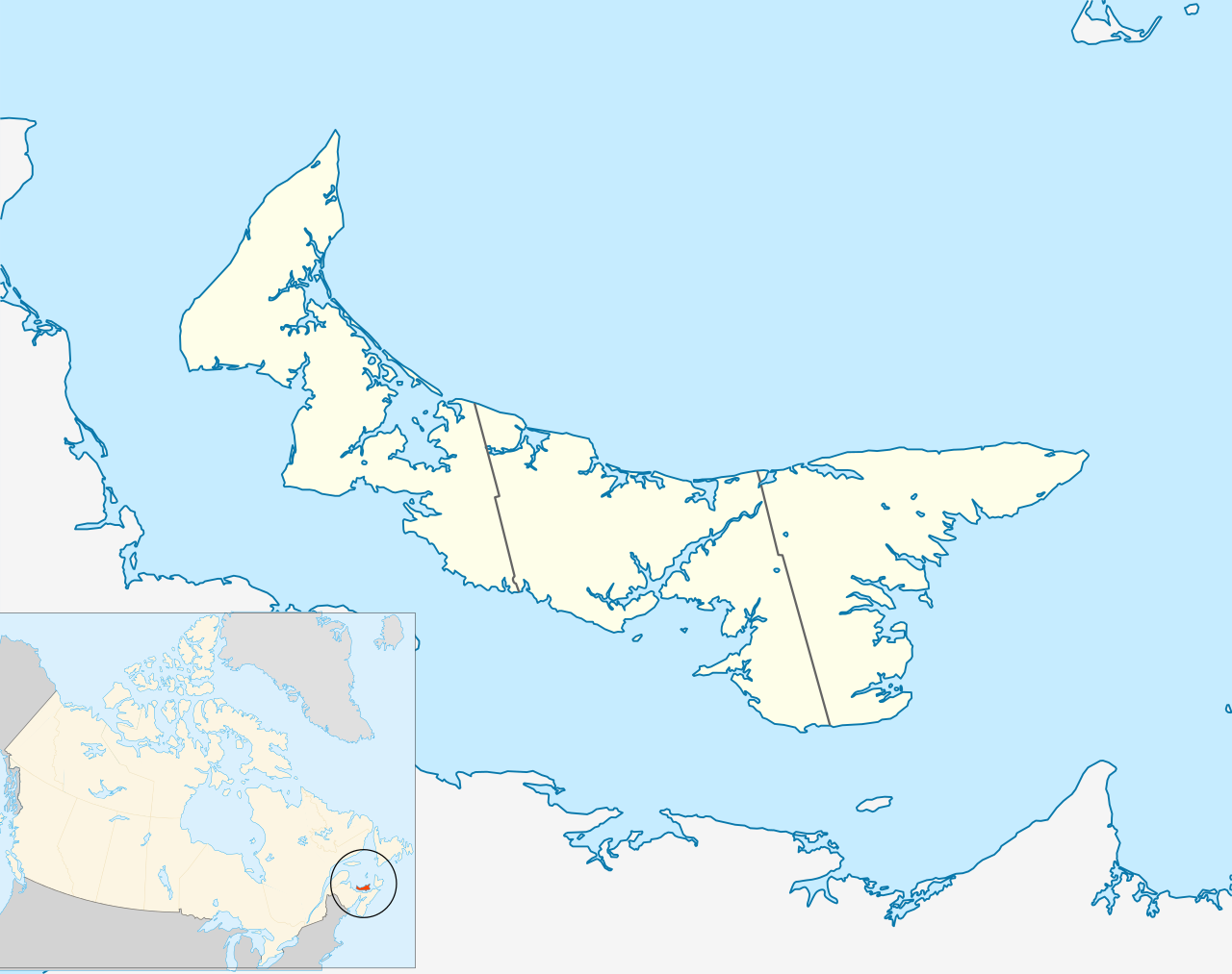
Canada_Prince_Edward_Island_location_map_2.svg

Size of this PNG preview of this SVG file:
758 × 600 pixels
.
Other resolutions:
303 × 240 pixels
|
607 × 480 pixels
|
971 × 768 pixels
|
1,280 × 1,013 pixels
|
2,560 × 2,025 pixels
|
1,039 × 822 pixels
.
| Description |
Quadratische Plattkarte, N-S-Streckung 145 %. Geographische Begrenzung der Karte:
Equirectangular projection, N/S stretching 145 %. Geographic limits of the map:
|
| Date | |
| Source | Own work , based on File:Canada_Prince_Edward_Island_location_map.svg |
| Author | Hanhil ( talk ) 18:14, 24 September 2009 (UTC) based on work by NordNordWest |
|
Permission
( Reusing this file ) |
I, the copyright holder of this work, hereby publish it under the following license:
This file is licensed under the
Creative Commons
Attribution-Share Alike 3.0 Unported
license.
|