Canarias-loc.svg

Size of this PNG preview of this SVG file:
512 × 277 pixels
.
Other resolutions:
320 × 173 pixels
|
640 × 346 pixels
|
1,024 × 554 pixels
|
1,280 × 693 pixels
|
2,560 × 1,385 pixels
.
Summary
| Description |
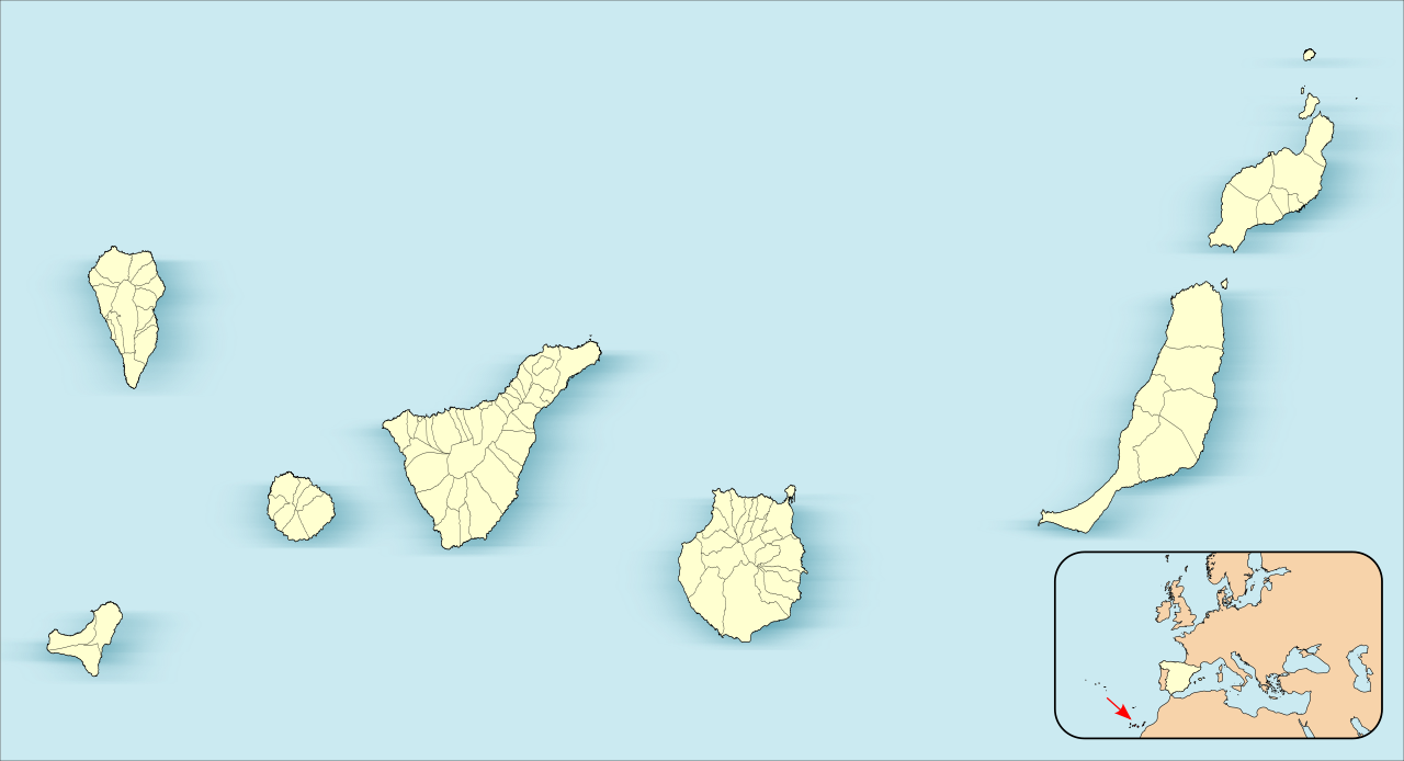
English:
Location map of
Canary Islands
Equirectangular projection, N/S stretching 130 %. Geographic limits of the map:
Español:
Mapa de localización de las
Islas Canarias
Proyección equirrectangular (cilíndrica equidistante), N/S estirada 130 %. Límites geográficos del mapa:
|
| Date | |
| Source | Own work based on: EspañaLoc.svg by HansenBCN |
| Author | Miguillen |
|
This map has been made or improved in the Spanish
Taller de Cartografía
(Map Lab)
. You can
propose maps
to improve as well.
|
Licensing
Miguillen
, the copyright holder of this work, hereby publishes it under the following license:
This file is licensed under the
Creative Commons
Attribution-Share Alike 3.0 Unported
license.
Attribution:
Miguillen
-
You are free:
- to share – to copy, distribute and transmit the work
- to remix – to adapt the work
-
Under the following conditions:
- attribution – You must give appropriate credit, provide a link to the license, and indicate if changes were made. You may do so in any reasonable manner, but not in any way that suggests the licensor endorses you or your use.
- share alike – If you remix, transform, or build upon the material, you must distribute your contributions under the same or compatible license as the original.