Canvey_Island_OSM_map_2010.jpg

Size of this preview:
778 × 599 pixels
.
Other resolutions:
312 × 240 pixels
|
623 × 480 pixels
|
997 × 768 pixels
|
1,062 × 818 pixels
.
| Description |
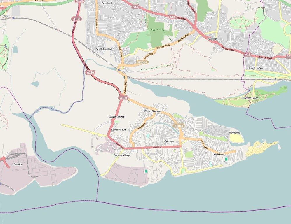
English:
Map of
Canvey Island
(Essex, United Kingdom) and its surrounding areas.
|
| Date | |
| Source | OpenStreetMap |
| Author | The OpenStreetMap Project. |
|
Permission
( Reusing this file ) |
This file is licensed under the
Creative Commons
Attribution 2.0 Generic
license.
|