Cap_Bon_NASA.jpg
Size of this preview:
800 × 548 pixels
.
Other resolutions:
320 × 219 pixels
|
640 × 439 pixels
|
1,024 × 702 pixels
.
Summary
| Description |
English:
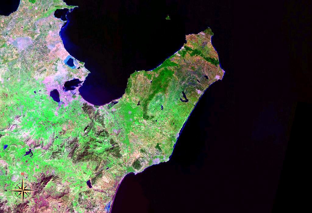
Cap Bon Peninsula in Tunisia. Satellite view.
|
| Date | 4 August 2006 (upload date) |
| Source | Satellite imagery taken from NASA World Wind software (by screenshot) |
| Author | NASA |
Licensing
|
|
This image is in the
public domain
because it is a screenshot from
NASA
’s globe software
World Wind
using a public domain layer, such as Blue Marble, MODIS, Landsat, SRTM, USGS or GLOBE.
|

|