Cape_Air_(6544774239)_(cropped).jpg

Size of this preview:
800 × 533 pixels
.
Other resolutions:
320 × 213 pixels
|
640 × 427 pixels
|
1,024 × 683 pixels
|
1,280 × 853 pixels
|
2,790 × 1,860 pixels
.
Summary
| Description |
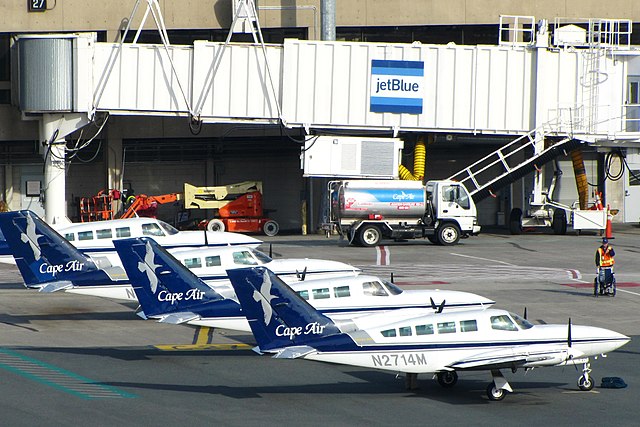
Cape Air Cessna 402 General Edward Lawrence Logan International Airport |
| Date | |
| Source | Cape Air |
| Author | redlegsfan21 from Vandalia, OH, United States |
| Other versions |
.jpg)
| Camera location |
|
View this and other nearby images on: OpenStreetMap |
|
|---|
_(cropped).jpg¶ms=042.365383_N_-071.015706_E_globe:Earth_type:camera_source:Flickr_&language=en)
Licensing
This file is licensed under the
Creative Commons
Attribution-Share Alike 2.0 Generic
license.
-
You are free:
- to share – to copy, distribute and transmit the work
- to remix – to adapt the work
-
Under the following conditions:
- attribution – You must give appropriate credit, provide a link to the license, and indicate if changes were made. You may do so in any reasonable manner, but not in any way that suggests the licensor endorses you or your use.
- share alike – If you remix, transform, or build upon the material, you must distribute your contributions under the same or compatible license as the original.