Carrie_1972.jpg


Description
English: 
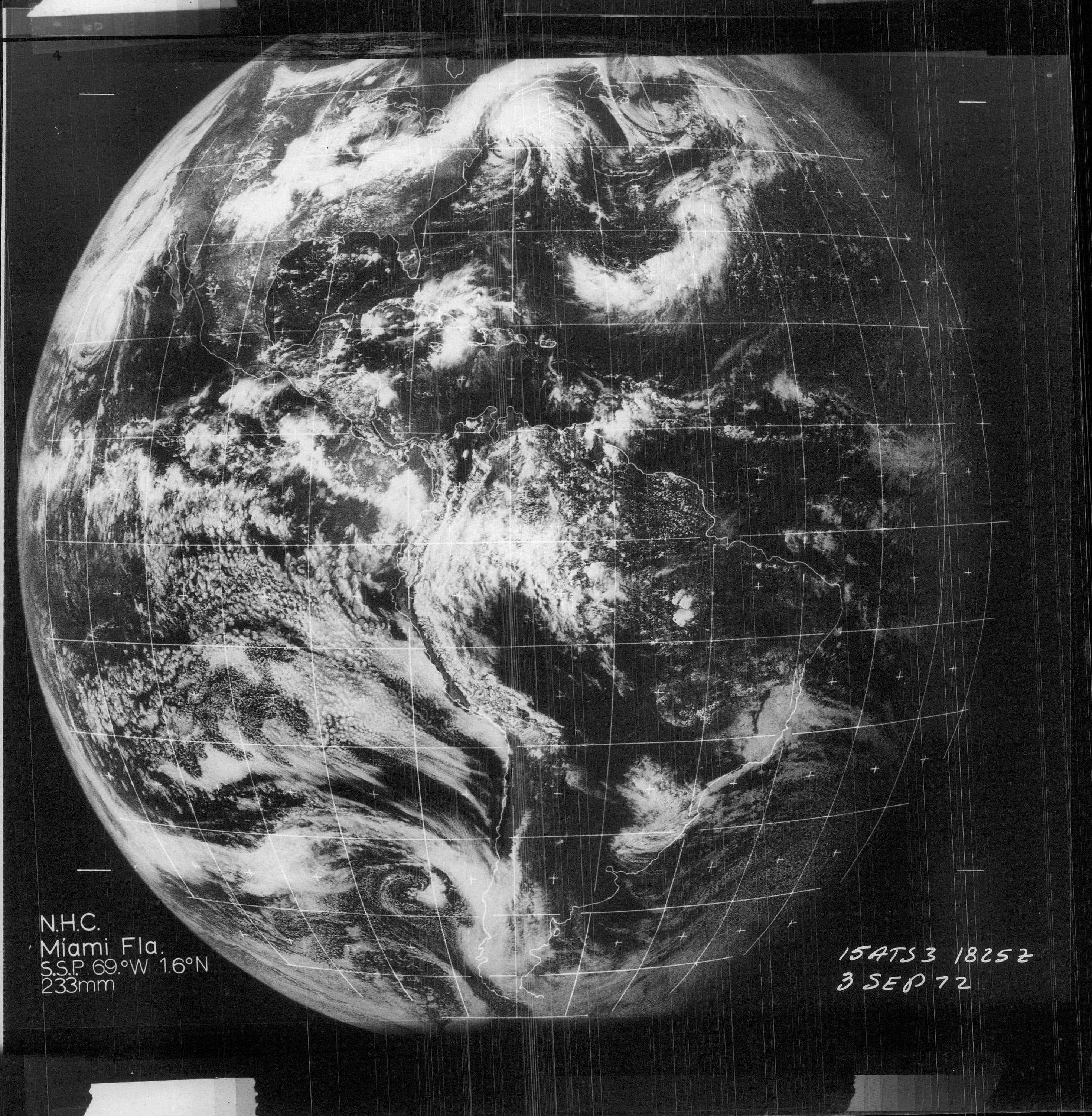
Satellite image of Tropical Storm Carrie just before becoming extratropical near Massachusetts
Date
Source http://www.nhc.noaa.gov/archive/storm_wallets/cdmp/dvd0171-jpg/1972/atlantic/carrie/satpic/s031825z.jpg
Author ATS-3 Satellite Image, National Hurricane Center
Permission
( Reusing this file )
Public domain
This image is in the public domain because it contains materials that originally came from the U.S. National Oceanic and Atmospheric Administration , taken or made as part of an employee's official duties.

العربية čeština Deutsch Zazaki English español eesti suomi français hrvatski magyar italiano 日本語 한국어 македонски മലയാളം Plattdüütsch Nederlands polski português română русский sicilianu slovenščina Türkçe Tiếng Việt 简体中文 繁體中文 +/−

Captions

Add a one-line explanation of what this file represents

Items portrayed in this file

depicts

3 September 1972

image/jpeg

1213c9ee316f03fd9a6d9dc99c7cf5dba78b5908

56,649 byte

477 pixel

575 pixel