Carte_de_l'Empire_Français_1812.jpg

Size of this preview:
800 × 594 pixels
.
Other resolutions:
320 × 238 pixels
|
640 × 476 pixels
|
1,024 × 761 pixels
|
1,280 × 951 pixels
|
2,560 × 1,902 pixels
|
9,338 × 6,938 pixels
.
Summary
| Description |
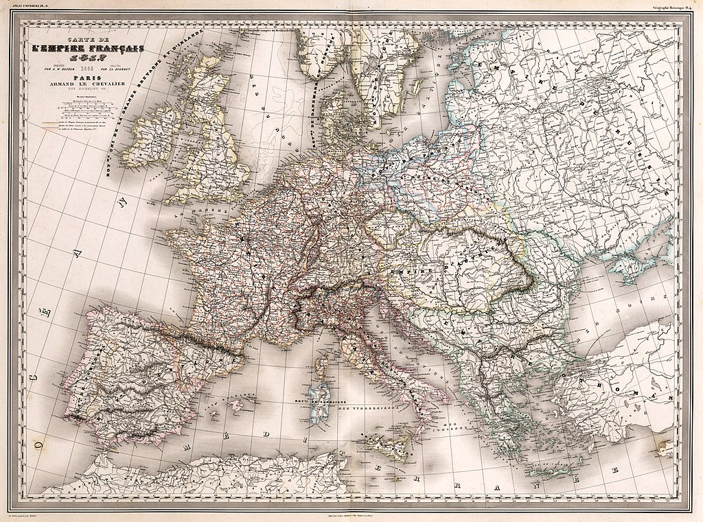
Français :
Carte de l'Empire Français 1812 : Dressée par A. H. Dufour. Gravée par Ch. Dyonnet. Paris, Armand Le Chevalier, Rue Richelieu, 60. La Lettre gravée par Delêtre. Imp
é
. par Louis Antoine, r. des Noyers, 70, Paris. (to accompany) Atlas Universel, Physique, Historique Et Politique De Géographie Ancienne Et Moderne. Pl. 9. (on upper margin) Géographie Historique Pl. 4.
|
||||
| Date | |||||
| Source | David Rumsey Map Collection. | ||||
| Author | Dufour, Auguste-Henri (1798-1865). | ||||
|
Permission
( Reusing this file ) |
|
||||