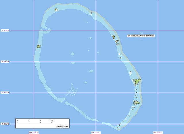
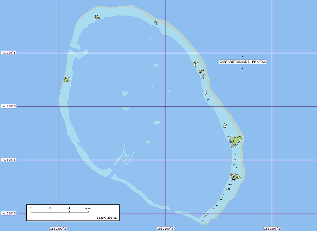
Carteret_Map.jpg

Size of this preview:
800 × 583 pixels
.
Other resolutions:
320 × 233 pixels
|
640 × 467 pixels
|
1,024 × 747 pixels
|
1,240 × 904 pixels
.

|
This
map
image could be re-created
using
vector graphics
as an
SVG
file
. This has several advantages; see
Commons:Media for cleanup
for more information. If an SVG form of this image is available, please upload it and afterwards replace this template with
{{

vector version available

|

new image name

}}
.
It is recommended to name the SVG file “Carteret Map.svg”—then the template Vector version available (or Vva ) does not need the new image name parameter. |


Summary
| Description |
Deutsch:
Karte von Kilinailau (auch Carteret-Atoll oder Tulun-Inseln), Papua-Neuguinea
English:
Map of Carteret Atoll (also known as Kilinailau or Tulun Islands), Papua New Guinea
|
| Date | |
| Source | Flickr |
| Author | EVS-Islands |
Licensing
This file is licensed under the
Creative Commons
Attribution 2.0 Generic
license.
-
You are free:
- to share – to copy, distribute and transmit the work
- to remix – to adapt the work
-
Under the following conditions:
- attribution – You must give appropriate credit, provide a link to the license, and indicate if changes were made. You may do so in any reasonable manner, but not in any way that suggests the licensor endorses you or your use.
|
|
This image was originally posted to Flickr by EVS-Islands at https://www.flickr.com/photos/60042877@N00/312281441 . It was reviewed on 26 June 2008 by FlickreviewR and was confirmed to be licensed under the terms of the cc-by-2.0. |