Central-islip-ny-map.png
No higher resolution available.
Summary
| Description | |
| Date | |
| Source | http://factfinder.census.gov |
| Author | United States Census Bureau |
|
Permission
( Reusing this file ) |
Public domain |
Licensing
|
|
This image or file is a work of a
United States Census Bureau
employee, taken or made as part of that person's official duties. As a
work
of the
U.S. federal government
, the image is in the
public domain
.
|

|
.]
Original upload log
Transferred from en.wikipedia to Commons by Milicevic01 using CommonsHelper .
The original description page was
here
. All following user names refer to en.wikipedia.
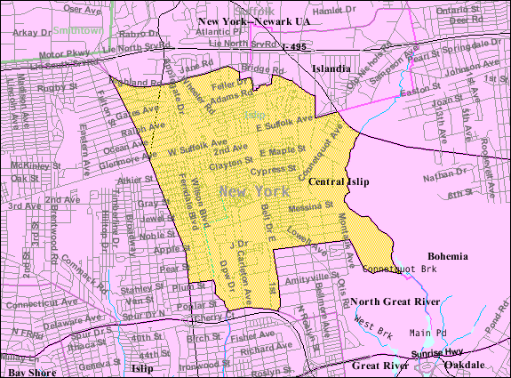
- 2007-11-26 01:49 Americasroof 575×425× (70668 bytes) [[Central Islip, New York]] map from U.S. Census
Original upload log
| Date/Time | Dimensions | User | Comment |
|---|---|---|---|
| 22 August 2013, 10:21:48 | 575 × 425 (70668 bytes) | File Upload Bot (Magnus Manske) ( talk · contribs ) | Transfered from en.wikipedia by [[User:Milicevic01]] using CommonsHelper |