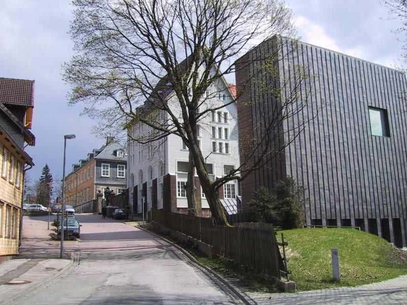
Clausthal-zellerfeld_oberbergamt_bergbauarchiv.jpg


Description Oberbergamt, Bergbauarchiv, de:Clausthal-Zellerfeld
Date
Source Own work
Author User Stern on de.wikipedia
Permission
( Reusing this file )
GNU head Permission is granted to copy, distribute and/or modify this document under the terms of the GNU Free Documentation License , Version 1.2 or any later version published by the Free Software Foundation ; with no Invariant Sections, no Front-Cover Texts, and no Back-Cover Texts. A copy of the license is included in the section entitled GNU Free Documentation License .
w:en:Creative Commons
attribution share alike
This file is licensed under the Creative Commons Attribution-Share Alike 3.0 Unported license.
You are free:
  • to share – to copy, distribute and transmit the work
  • to remix – to adapt the work
Under the following conditions:
  • attribution – You must give appropriate credit, provide a link to the license, and indicate if changes were made. You may do so in any reasonable manner, but not in any way that suggests the licensor endorses you or your use.
  • share alike – If you remix, transform, or build upon the material, you must distribute your contributions under the same or compatible license as the original.
This licensing tag was added to this file as part of the GFDL licensing update .
Other versions

Originally from de.wikipedia ; description page is (was) here

  • 01:17, 18. Feb 2004 Stern 800 x 600 (113.892 Byte) (Oberbergamt, Bergbauarchiv, Clausthal-Zellerfeld, 2001 / selbstfotografiert / GNU-Lizenz)
Camera location 51° 48′ 16.99″ N, 10° 19′ 56.12″ E Kartographer map based on OpenStreetMap. View this and other nearby images on: OpenStreetMap info

(Uploaded using CommonsHelper or PushForCommons archive copy at the Wayback Machine .)

Captions

Add a one-line explanation of what this file represents

Items portrayed in this file

depicts

51°48'16.988"N, 10°19'56.122"E

image/jpeg

31372d29b01eb22a32ef5e6c6dd09f2102910238

113,892 byte

600 pixel

800 pixel