Cliff's_edge_in_Westfield.jpg

Size of this preview:
800 × 532 pixels
.
Other resolutions:
320 × 213 pixels
|
640 × 426 pixels
|
1,024 × 681 pixels
|
1,280 × 851 pixels
|
2,560 × 1,702 pixels
|
6,016 × 4,000 pixels
.
|
|
This is an image of a place or building that is listed on the
National Register of Historic Places
in the
United States of America
. Its reference number is
83001655
.
|
| Camera location |
|
View this and other nearby images on: OpenStreetMap |
|
|---|
| Description |
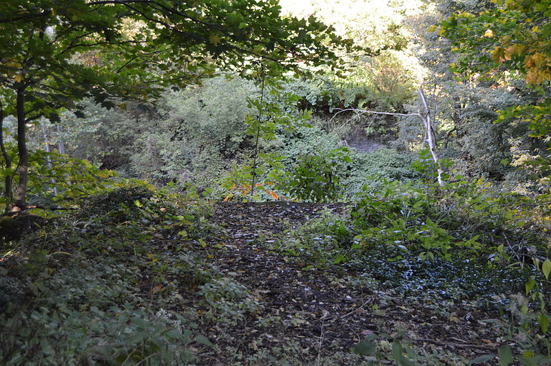
English:
Overview of the site of the
Rorig Bridge
, which formerly carried Water Street over Chautauqua Creek in
Westfield
,
New York
,
United States
. Built in 1883, it was listed on the
National Register of Historic Places
in 1983; although destroyed, it has not yet been removed from the Register.
|
||
| Date | Taken on 4 October 2014 | ||
| Source | Own work | ||
| Author | Nyttend | ||
|
Permission
( Reusing this file ) |
|