Congressional_districts.gif
Size of this preview:
776 × 600 pixels
.
Other resolutions:
311 × 240 pixels
|
621 × 480 pixels
|
792 × 612 pixels
.
Summary
| Description |
English:
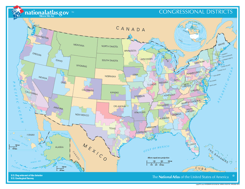
Congressional districts
|
| Date | Feb 16 |
| Source | http://nationalmap.gov/small_scale/printable/reference.html |
| Author | 20px|link=User:Kcida10|Kcida10 Kcida10 ( talk ) ( Uploads ). |
|
Permission
( Reusing this file ) |
Government agency |
Licensing
|
|
This map was obtained from an edition of the
National Atlas of the United States
. Like almost all works of the U.S. federal government, works from the
National Atlas
are in the
public domain
in the United States.
Online access: NationalAtlas.gov | 1970 print edition: Library of Congress , Perry-Castañeda Library
|
|
Original upload log
The original description page was
here
. All following user names refer to en.wikipedia.
| Date/Time | Dimensions | User | Comment |
|---|---|---|---|
| 2016-02-03 11:06 | 792×612× (86567 bytes) | Kcida10 | {{Information | Description = Congressional districts | Source =http://nationalmap.gov/small_scale/printable/reference.html | Date = Feb 16 | Author =[[File:Wikideas.jpeg|20px|link=User:Kcida10|Kcida10 ]] [[User:Kcida10|... |