Convent_of_Our_Lady_of_Saidnaya_01.jpg
Size of this preview:
800 × 600 pixels
.
Other resolutions:
320 × 240 pixels
|
640 × 480 pixels
|
1,024 × 768 pixels
|
1,280 × 960 pixels
|
2,560 × 1,920 pixels
|
3,456 × 2,592 pixels
.
Summary
| Description |
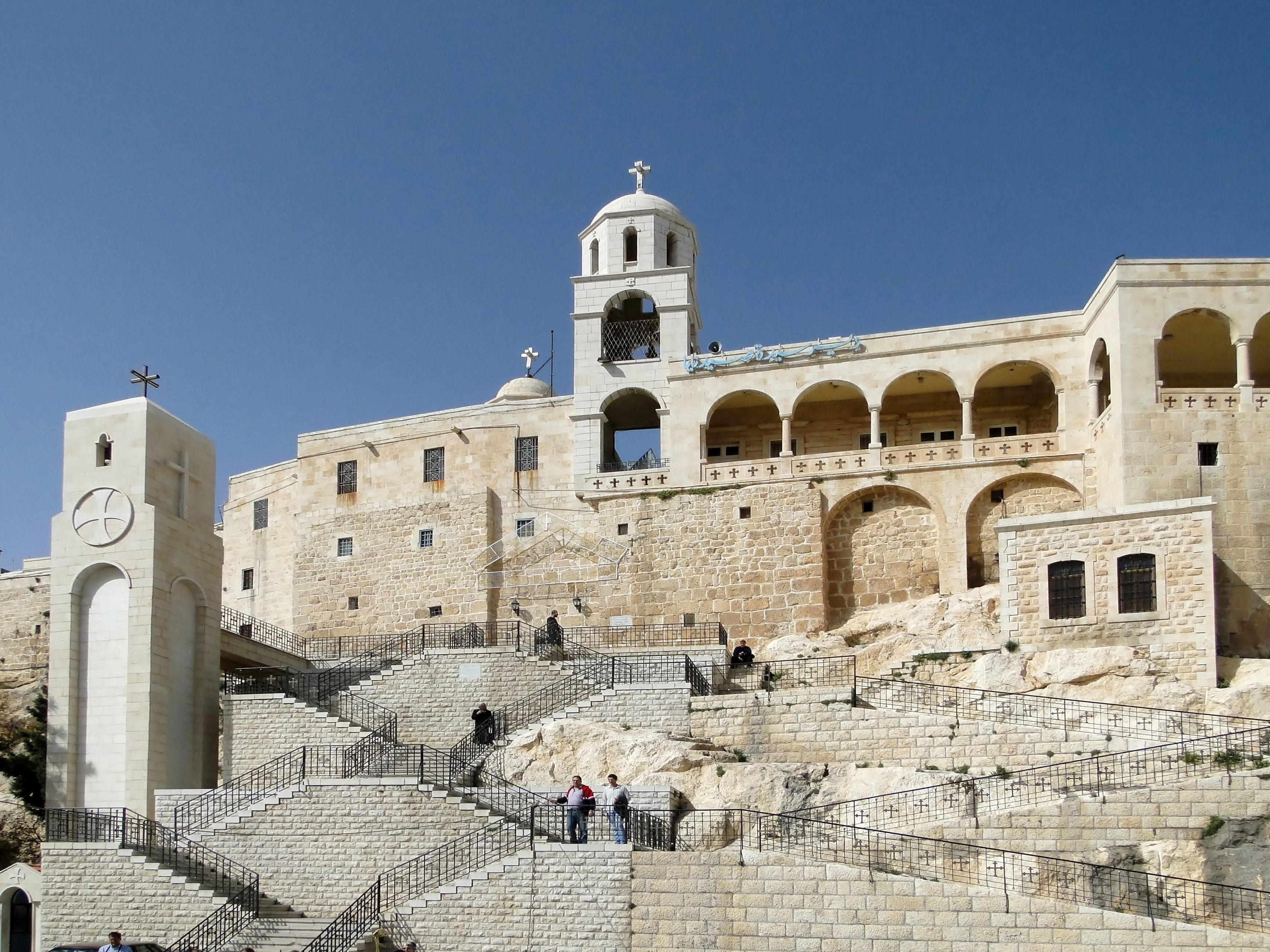
English:
Convent of Our Lady of Saidnaya,
Saidnaya
, Syria
Français :
Monastère Notre-Dame de Saidnaya
, Saidnaya, Syrie
العربية:
دير سيدة صيدنايا يقع في أعلى قمم بلدة صيدنايا ويبعد عن دمشق مسافة 30 كم وقد تم إنجاز هذا الدير عام 547 وتواصلت فيها حياة الرهبنة منذ القرن الخامس الميلادي
|
| Date | |
| Source | Own work |
| Author | Bernard Gagnon |
| Camera location |
|
View this and other nearby images on: OpenStreetMap |
|
|---|
Licensing
I, the copyright holder of this work, hereby publish it under the following licenses:

|
Permission is granted to copy, distribute and/or modify this document under the terms of the GNU Free Documentation License , Version 1.2 or any later version published by the Free Software Foundation ; with no Invariant Sections, no Front-Cover Texts, and no Back-Cover Texts. A copy of the license is included in the section entitled GNU Free Documentation License . |
This file is licensed under the
Creative Commons
Attribution-Share Alike
3.0 Unported
,
2.5 Generic
,
2.0 Generic
and
1.0 Generic
license.
-
You are free:
- to share – to copy, distribute and transmit the work
- to remix – to adapt the work
-
Under the following conditions:
- attribution – You must give appropriate credit, provide a link to the license, and indicate if changes were made. You may do so in any reasonable manner, but not in any way that suggests the licensor endorses you or your use.
- share alike – If you remix, transform, or build upon the material, you must distribute your contributions under the same or compatible license as the original.
You may select the license of your choice.

|
This image has been assessed under the valued image criteria and is considered the most valued image on Commons within the scope: Convent of Our Lady of Saidnaya, Syria . You can see its nomination here . |