Cornish_windsor_bridge.jpg
Size of this preview:
800 × 560 pixels
.
Other resolutions:
320 × 224 pixels
|
640 × 448 pixels
|
1,024 × 717 pixels
|
1,280 × 896 pixels
|
2,560 × 1,793 pixels
|
4,567 × 3,198 pixels
.
|
|
This is an image of a place or building that is listed on the
National Register of Historic Places
in the
United States of America
. Its reference number is
76000135
.
|
| Camera location |
|
View this and other nearby images on: OpenStreetMap |
|
|---|
| Description |
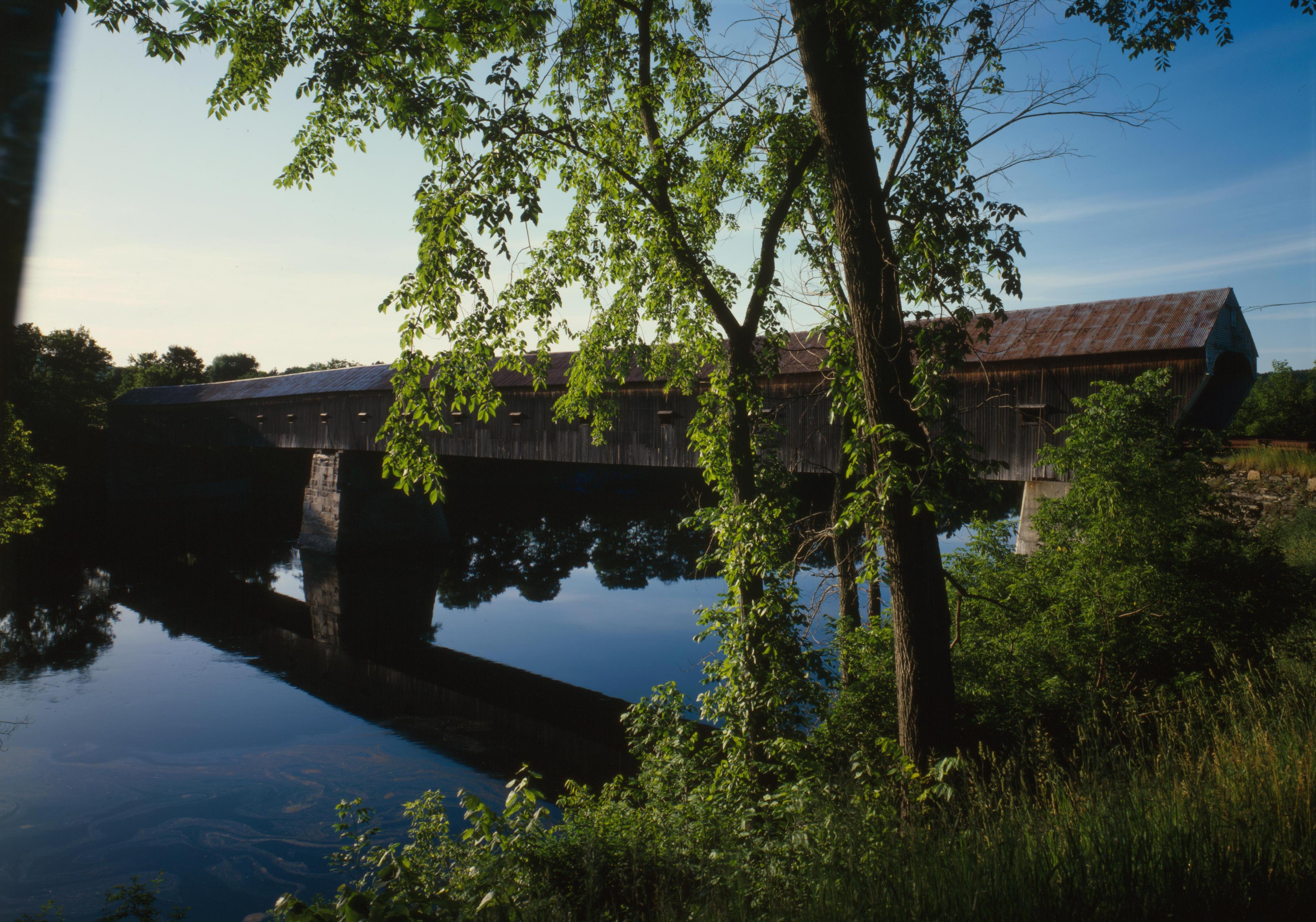
English:
Southern (downstream) side of the
Cornish-Windsor Covered Bridge
, which spans the end of the
Zoarville Bridge
, which spans the
Connecticut River
between
Cornish
,
New Hampshire
and
Windsor
,
Vermont
, in the
United States
. Built in 1866, it is listed on the
National Register of Historic Places
.
|
|||||||||||||||||||||||
| Date | ||||||||||||||||||||||||
| Source | Library of Congress , Prints and Photograph Division HAER : NH,10-CORN,2-11 | |||||||||||||||||||||||
| Author |
|
|||||||||||||||||||||||
|
Permission
( Reusing this file ) |
|
|||||||||||||||||||||||
.jpg)

|
This image is available from the United States
Library of Congress
's
Prints and Photographs division
under the digital ID hhh.nh0177 . This tag does not indicate the copyright status of the attached work. A normal copyright tag is still required. See Commons:Licensing .
|