Cottages_near_Fotheringhay_Lodge_-_geograph.org.uk_-_256034.jpg
No higher resolution available.
Summary
| Description |
English:
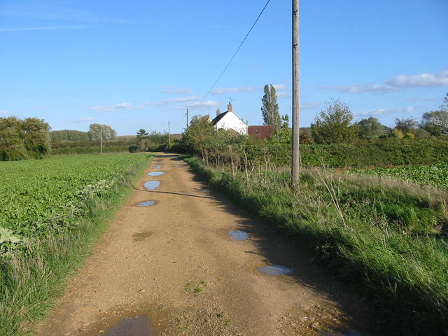
Cottages near Fotheringhay Lodge These cottages stand on the track leading to Fotheringhay Lodge. Just beyond the cottages once stood a railway station on the line between Peterborough and Oundle. As was often the case the station was a long way from the nearest villages; no trace of it remains.
|
| Date | |
| Source | From geograph.org.uk |
| Author | Mike Bardill |
|
Attribution
( required by the license ) |
Mike Bardill / Cottages near Fotheringhay Lodge / |
| Camera location |
|
View this and other nearby images on: OpenStreetMap |
|
|---|
_heading:90.00&language=en)
| Object location |
|
View this and other nearby images on: OpenStreetMap |
|
|---|
_heading:90.00&language=en)
Licensing

|
This image was taken from the
Geograph project
collection. See
this photograph's page
on the Geograph website for the photographer's contact details. The copyright on this image is owned by
Mike Bardill
and is licensed for reuse under the
Creative Commons
Attribution-ShareAlike 2.0 license.
|
This file is licensed under the
Creative Commons
Attribution-Share Alike 2.0 Generic
license.
Attribution:
Mike Bardill
-
You are free:
- to share – to copy, distribute and transmit the work
- to remix – to adapt the work
-
Under the following conditions:
- attribution – You must give appropriate credit, provide a link to the license, and indicate if changes were made. You may do so in any reasonable manner, but not in any way that suggests the licensor endorses you or your use.
- share alike – If you remix, transform, or build upon the material, you must distribute your contributions under the same or compatible license as the original.