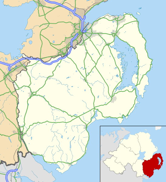
County_Down_UK_location_map.svg

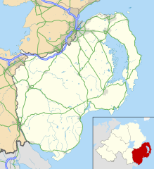
Size of this PNG preview of this SVG file:
548 × 600 pixels
.
Other resolutions:
219 × 240 pixels
|
439 × 480 pixels
|
702 × 768 pixels
|
936 × 1,024 pixels
|
1,871 × 2,048 pixels
|
742 × 812 pixels
.
| Description |
Map of County Down , UK with the following information shown:
Geographic limits:
|
|||
| Date | ||||
| Source |
Ordnance Survey of Northern Ireland OpenData
Ordnance Survey OpenData
|
|||
| Author | Nilfanion , created using OSNI data | |||
|
Permission
( Reusing this file ) |
This file is licensed under the
Creative Commons
Attribution-Share Alike 3.0 Unported
license.
Attribution:
Contains LPS Intellectual Property and Ordnance Survey data © Crown copyright and database right 2016
|