Cowbridge_girls_school_1914_OS_map.png
Size of this preview:
515 × 599 pixels
.
Other resolutions:
206 × 240 pixels
|
635 × 739 pixels
.
Summary
| Description |
English:
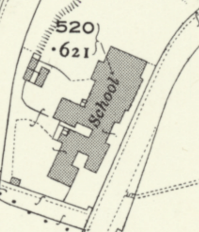
extract from 1892-1914 OS map showing Cowbridge Girls School
|
| Date | between 1892 and 1914 |
| Source | https://maps.nls.uk/geo/explore/side-by-side/#zoom=19&lat=51.46159&lon=-3.44030&layers=168&right=ESRIWorld |
| Author | Ordnance Survey map from 1892-1914 |
Licensing
|
This work is an
Ordnance Survey
map over 50 years old, which is covered by
Crown Copyright
which in this case expires 50 years after publication. Ordnance Survey does however ask that they be credited and that the date of publication be given.
Any ancillary rights gained through the creation of the electronic version are granted as freely usable under any circumstances.
|
|
|
This work
created by the United Kingdom Government
is in the
public domain
.
This is because it is one of the following :
HMSO has declared that the expiry of Crown Copyrights applies worldwide (ref:
HMSO Email Reply
)
|

|