De_wit_1680_monemvasia_b.jpg
| Description |
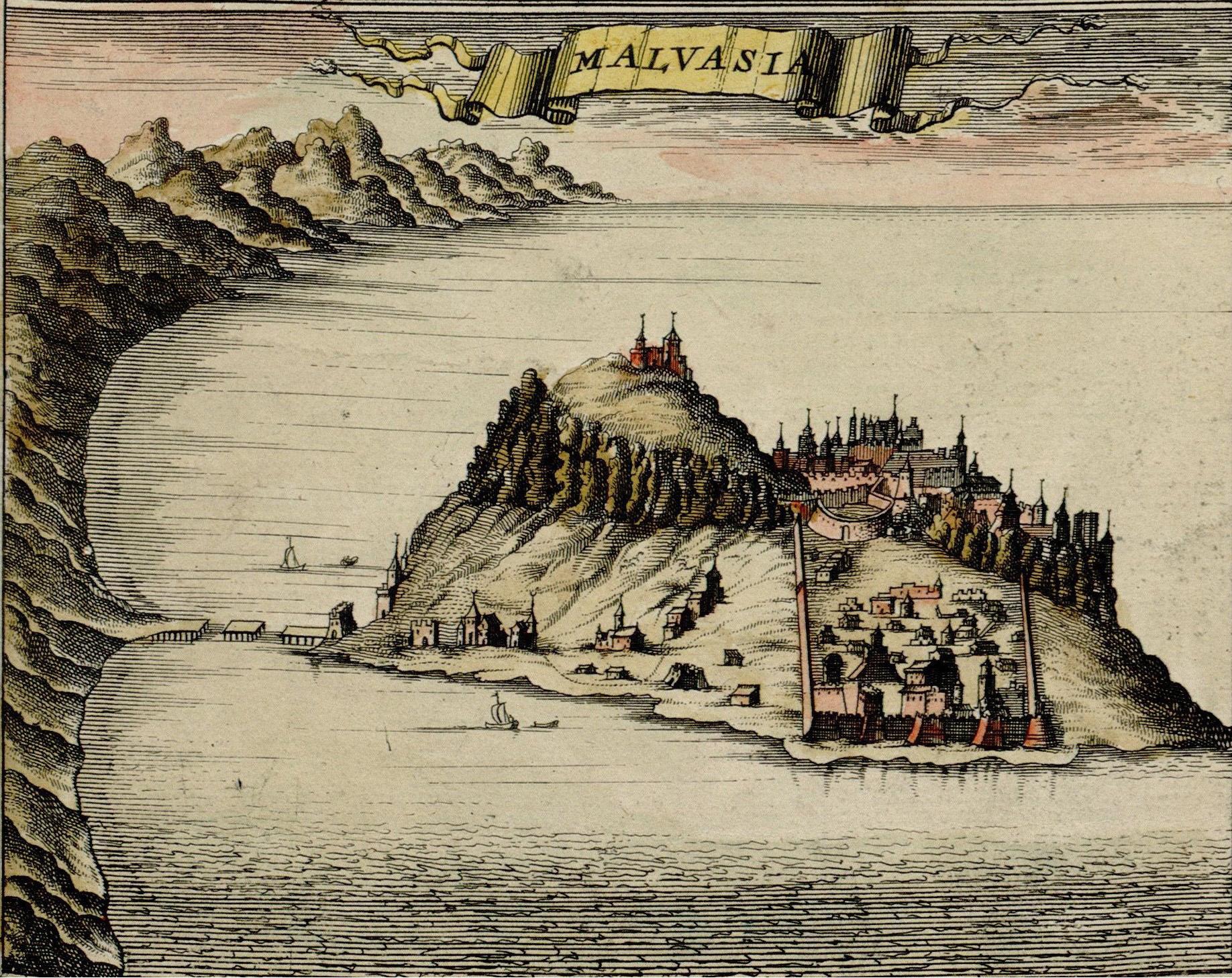
Monemvasia, at the time ruled by the Ottoman Empire, Map made by F. de Witt, Amsterdam, 1680,
|
| Date | |
| Source | http://historic-cities.huji.ac.il/greece/monemvasia/maps/de_wit_1680_monemvasia.html |
| Author | F. de Witt |
|
Permission
( Reusing this file ) |
Public domain |
|
This is a faithful photographic reproduction of a two-dimensional,
public domain
work of art. The work of art itself is in the public domain for the following reason:
The official position taken by the Wikimedia Foundation is that "
faithful reproductions of two-dimensional public domain works of art are public domain
".
This photographic reproduction is therefore also considered to be in the public domain in the United States. In other jurisdictions, re-use of this content may be restricted; see Reuse of PD-Art photographs for details. |
||||
|
Image taken from:
http://historic-cities.huji.ac.il/greece/monemvasia/maps/de_wit_1680_monemvasia.html
Department of Geography, The Hebrew University of Jerusalem
|