Delaware_County_Courthouse,_Muncie.jpg

Size of this preview:
800 × 532 pixels
.
Other resolutions:
320 × 213 pixels
|
640 × 426 pixels
|
1,024 × 681 pixels
|
1,280 × 851 pixels
|
2,560 × 1,702 pixels
|
6,016 × 4,000 pixels
.
| Camera location |
|
View this and other nearby images on: OpenStreetMap |
|
|---|
| Description |
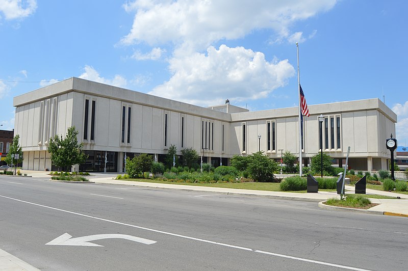
English:
Southern and eastern sides of the
Delaware County Courthouse
, located in the block surrounded by High, Main (
State Road 32
), Walnut, and Washington Streets in
Muncie
,
Indiana
,
United States
. It was built in 1969 to replace a historic courthouse that was a victim of urban renewal.
|
||
| Date | Taken on 19 June 2016 | ||
| Source | Own work | ||
| Author | Nyttend | ||
|
Permission
( Reusing this file ) |
|