Dnieper_32.03650E_46.60888N.jpg

Size of this preview:
800 × 599 pixels
.
Other resolutions:
320 × 240 pixels
|
640 × 479 pixels
|
1,024 × 766 pixels
|
1,280 × 958 pixels
.
Summary
| Description |
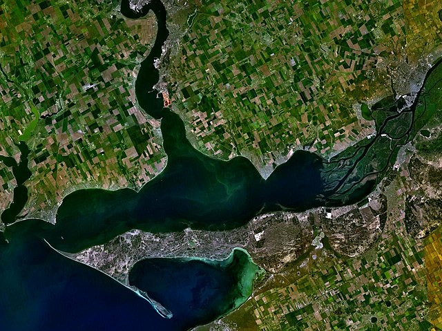
English:
The satellite view of the Dnieper-Bug Estuary and the Dnieper delta.
|
| Date | Unknown date |
| Source | Satellite imagery taken from NASA World Wind software (by screenshot) |
| Author | World Wind |
| Object location |
|
View this and other nearby images on: OpenStreetMap |
|
|---|
Licensing
|
|
This image is in the
public domain
because it is a screenshot from
NASA
’s globe software
World Wind
using a public domain layer, such as Blue Marble, MODIS, Landsat, SRTM, USGS or GLOBE.
|

|