Donington_Park_1937.svg

Size of this PNG preview of this SVG file:
600 × 600 pixels
.
Other resolutions:
240 × 240 pixels
|
480 × 480 pixels
|
768 × 768 pixels
|
1,024 × 1,024 pixels
|
2,048 × 2,048 pixels
|
650 × 650 pixels
.
Summary
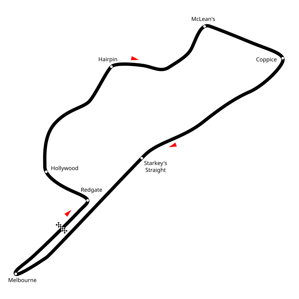
| Description | Diagram of Donington Park Circuit layout in 1937. |
| Date | |
| Source | Own work |
| Author | Readro |
|
Permission
( Reusing this file ) |
This file is licensed under the
Creative Commons
Attribution-Share Alike 2.5 Generic
license.
|
| Other versions |
|

| Camera location |
|
View this and other nearby images on: OpenStreetMap |
|
|---|