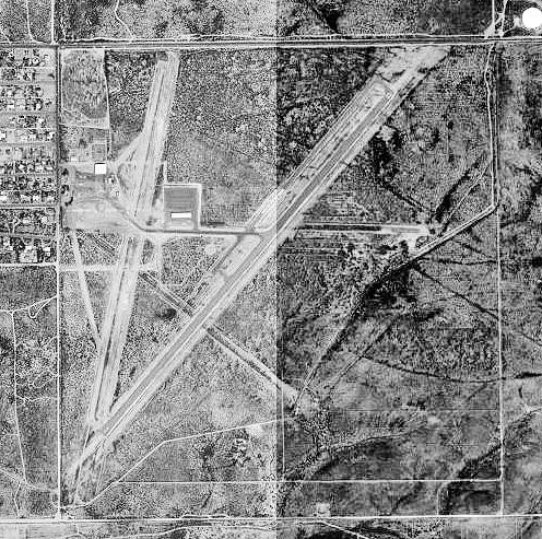
Douglas_Municipal_Airport_AZ_-_8_Oct_1996.jpg
No higher resolution available.
|
|
This is an image of a place or building that is listed on the
National Register of Historic Places
in the
United States of America
. Its reference number is
75000336
.
|
Summary
| Description | |
| Date | |
| Source |
USGS The National Map , via MSR Maps (formerly TerraServer-USA) |
| Author | United States Geological Survey (USGS) |
|
Permission
( Reusing this file ) |
Public domain |
| Other versions |
|

| Object location |
|
View this and other nearby images on: OpenStreetMap |
|
|---|
Licensing
|
|
This image is in the
public domain
in the United States because it only contains materials that originally came from the
United States Geological Survey
, an agency of the
United States Department of the Interior
. For more information, see
the official USGS copyright policy
.
|
|