DowntownRichmondHill2.jpg
Size of this preview:
800 × 530 pixels
.
Other resolutions:
320 × 212 pixels
|
640 × 424 pixels
|
1,024 × 678 pixels
|
1,280 × 848 pixels
|
2,560 × 1,696 pixels
|
4,928 × 3,264 pixels
.
Summary
| Description |
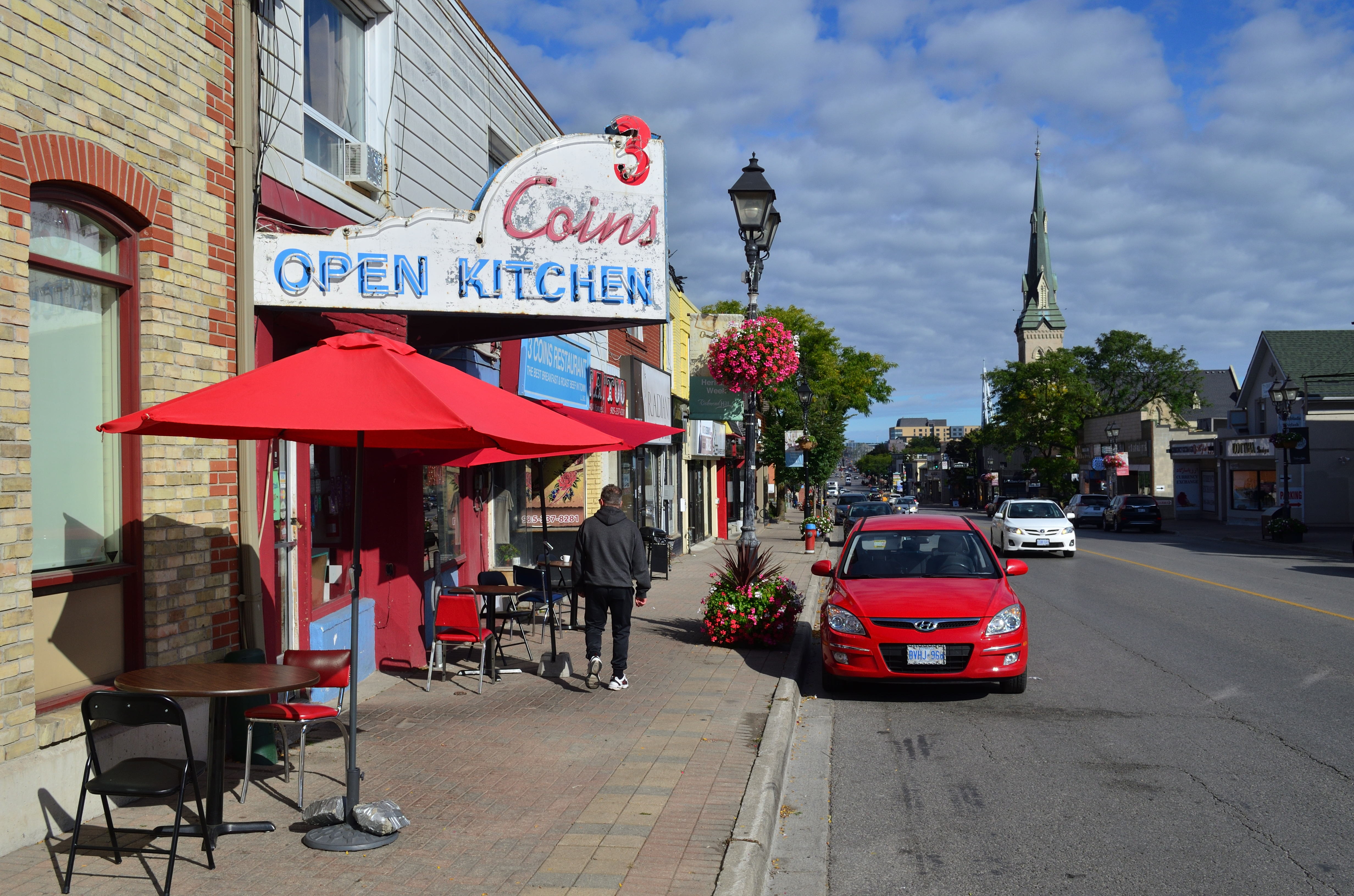
English:
Downtown Richmond Hill
|
| Date | |
| Source | Own work |
| Author | Raysonho @ Open Grid Scheduler / Scalable Grid Engine |
| Camera location |
|
View this and other nearby images on: OpenStreetMap |
|
|---|
Licensing
I, the copyright holder of this work, hereby publish it under the following license:
|
|
This file is made available under the Creative Commons CC0 1.0 Universal Public Domain Dedication . |
|
The person who associated a work with this deed has dedicated the work to the
public domain
by waiving all of their rights to the work worldwide under copyright law, including all related and neighboring rights, to the extent allowed by law. You can copy, modify, distribute and perform the work, even for commercial purposes, all without asking permission.
|