Dudley_Council_House_(geograph_3242920).jpg
Size of this preview:
800 × 600 pixels
.
Other resolutions:
320 × 240 pixels
|
640 × 480 pixels
|
1,024 × 768 pixels
|
1,280 × 960 pixels
|
2,560 × 1,920 pixels
|
3,648 × 2,736 pixels
.
Summary
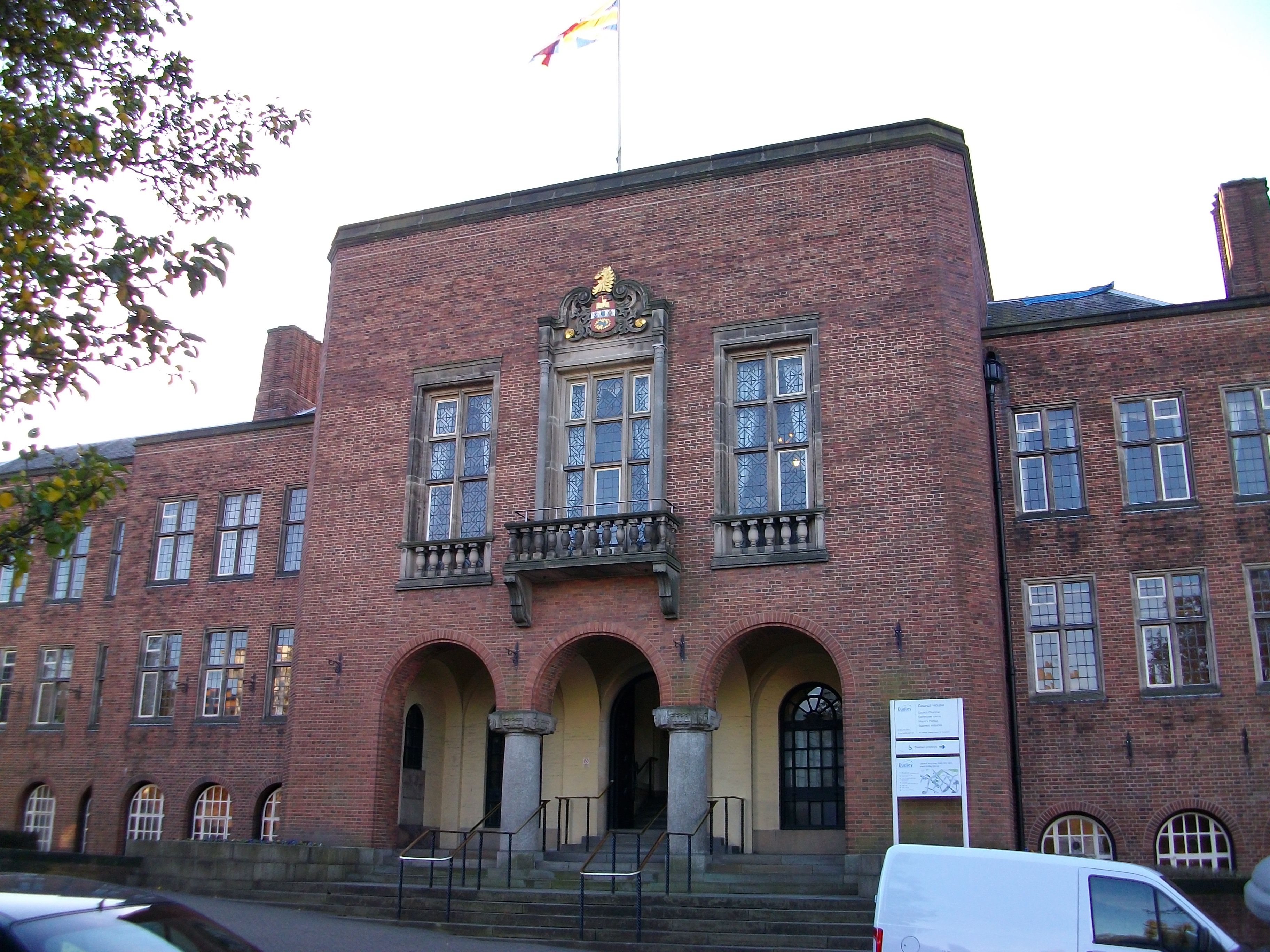
| Description | Dudley Council House | ||
| Date | |||
| Source | From geograph.org.uk | ||
| Author | Stephen Rogerson | ||
|
Permission
( Reusing this file ) |
This file is licensed under the
Creative Commons
Attribution-Share Alike 2.0 Generic
license.
Attribution:
Stephen Rogerson
|
||
|
Attribution
( required by the license ) |
Stephen Rogerson / Dudleys Council House / | ||

| Camera location |
|
View this and other nearby images on: OpenStreetMap |
|
|---|
.jpg¶ms=052.512269_N_-002.084240_E_globe:Earth_type:camera_source:geograph-osgb36(SO94389049)_heading:225.00&language=en)
| Object location |
|
View this and other nearby images on: OpenStreetMap |
|
|---|
.jpg¶ms=052.512090_N_-002.084530_E_globe:Earth_class:object_type:object_source:geograph-osgb36(SO94369047)_heading:225.00&language=en)