E181stjeh.JPG

Size of this preview:
800 × 600 pixels
.
Other resolutions:
320 × 240 pixels
|
640 × 480 pixels
|
1,024 × 768 pixels
|
1,280 × 960 pixels
|
2,560 × 1,920 pixels
|
3,072 × 2,304 pixels
.
Summary
| Description |
English:
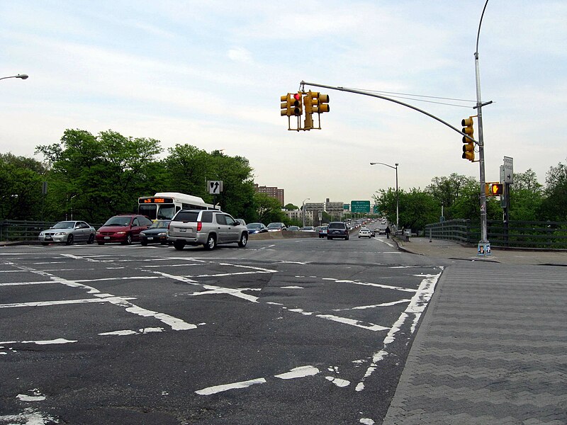
Looking east along
en:181st Street (Manhattan)
as it runs into
en:Washington Bridge
on a cloudy May 14.
|
| Date | |
| Source | Own work |
| Author | Jim.henderson |
| Camera location |
|
View this and other nearby images on: OpenStreetMap |
|
|---|
Licensing
|
|
I, the copyright holder of this work, release this work into the
public domain
. This applies worldwide.
In some countries this may not be legally possible; if so: I grant anyone the right to use this work for any purpose , without any conditions, unless such conditions are required by law. |