Earlestown_Town_Hall_(geograph_2729245)_(cropped).jpg
Size of this preview:
472 × 599 pixels
.
Other resolutions:
189 × 240 pixels
|
378 × 480 pixels
|
739 × 938 pixels
.
Summary
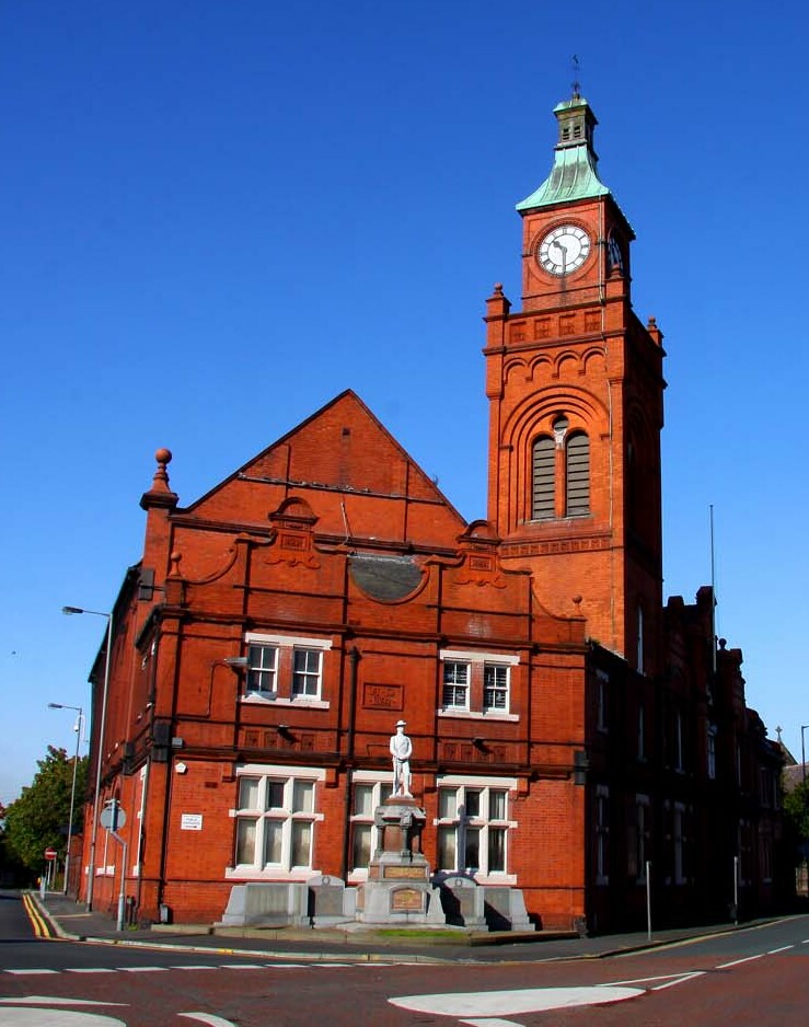
| Description | Earlestown Town Hall |
| Date | |
| Source |
This file was derived from:
Earlestown Town Hall (geograph 2729245).jpg
|
| Author | Steve Daniels |
|
Permission
( Reusing this file ) |
This file is licensed under the
Creative Commons
Attribution-Share Alike 2.0 Generic
license.
Attribution:
Steve Daniels
|
|
Attribution
( required by the license ) |
Steve Daniels / Earlestown Town Hall / |
.jpg)
| Camera location |
|
View this and other nearby images on: OpenStreetMap |
|
|---|
_(cropped).jpg¶ms=053.452950_N_-002.642900_E_globe:Earth_type:camera_source:geograph-osgb36(SJ57409532)_region:GB-EAW_heading:292.00&language=en)
| Object location |
|
View this and other nearby images on: OpenStreetMap |
|
|---|
_(cropped).jpg¶ms=053.453040_N_-002.643500_E_globe:Earth_class:object_type:object_source:geograph-osgb36(SJ57369533)_region:GB-EAW_heading:292.00&language=en)
|
|
This is a
retouched picture
, which means that it has been digitally altered from its original version. Modifications:
cropped
. The original can be viewed here:
Earlestown Town Hall (geograph 2729245).jpg
:
|