Ellicott's_Stone_01.JPG
Size of this preview:
450 × 600 pixels
.
Other resolutions:
180 × 240 pixels
|
360 × 480 pixels
|
576 × 768 pixels
|
768 × 1,024 pixels
|
2,304 × 3,072 pixels
.
|
|
This is an image of a place or building that is listed on the
National Register of Historic Places
in the
United States of America
. Its reference number is
73000359
.
|
| Description |
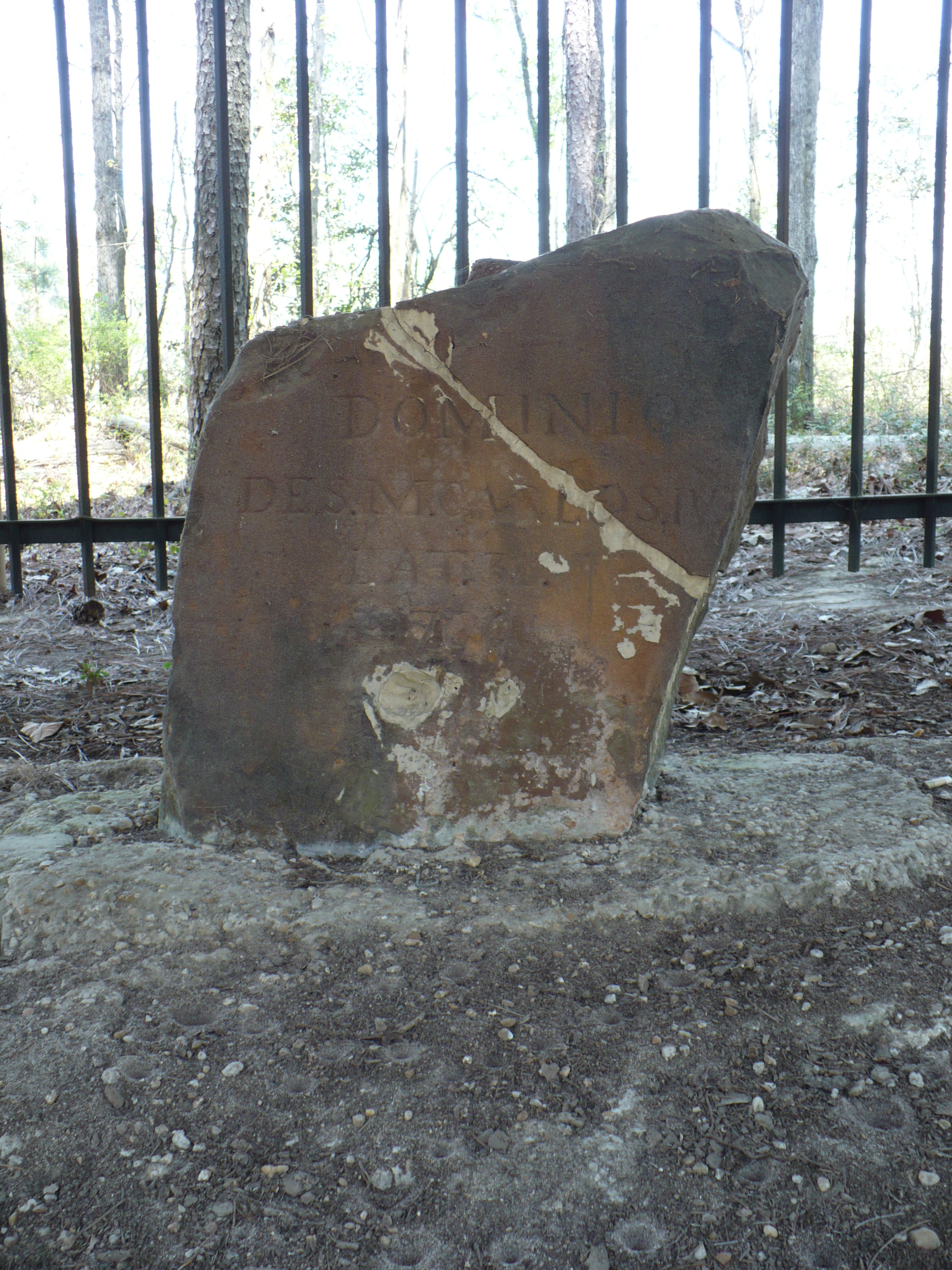
English:
Ellicott's Stone
at Bucks,
Alabama
, United States. This boundary marker was placed on April 10, 1799 by a joint U.S.-Spanish survey party, headed by
Andrew Ellicott
, on the border between the United States and Spanish
West Florida
. It was added to the National Register of Historic Places on 11 April 1973. This side (south) reads:
Español:
Dominio De S.M. Carlos IV, Lat. 31, 1799
(Dominion of his majesty King Charles IV, Lat. 31, 1799).
|
||
| Date | |||
| Source | Own work | ||
| Author | Altairisfar | ||
|
Permission
( Reusing this file ) |
|
| Object location |
|
View this and other nearby images on: OpenStreetMap |
|
|---|